It looks like you're using an Ad Blocker.
Please white-list or disable AboveTopSecret.com in your ad-blocking tool.
Thank you.
Some features of ATS will be disabled while you continue to use an ad-blocker.
share:
reply to post by taoistguy
Very funny. I am simply trying to be helpful as no one seems to be able to see the images I know are there.
Very funny. I am simply trying to be helpful as no one seems to be able to see the images I know are there.
reply to post by zilebeliveunknown
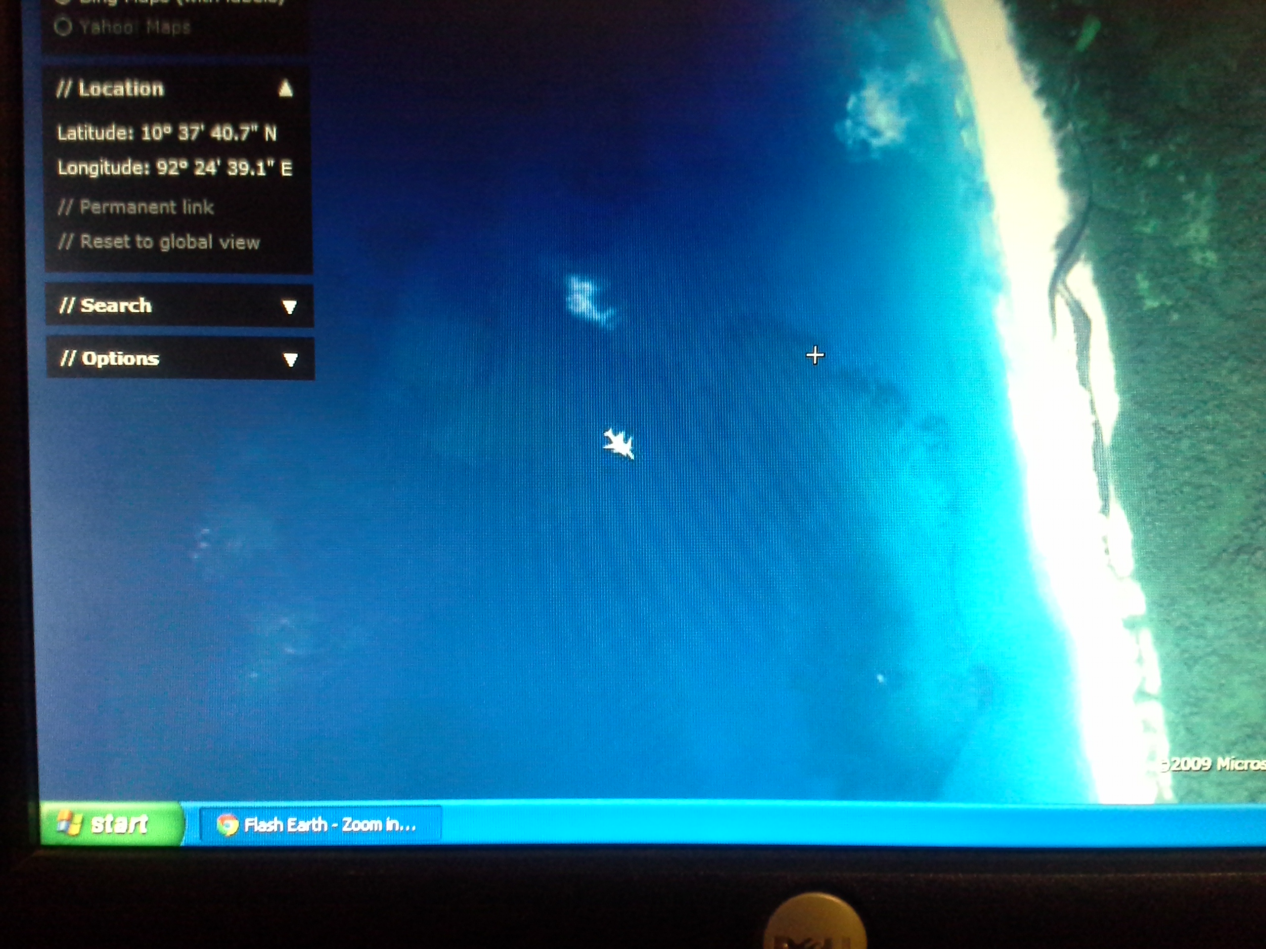
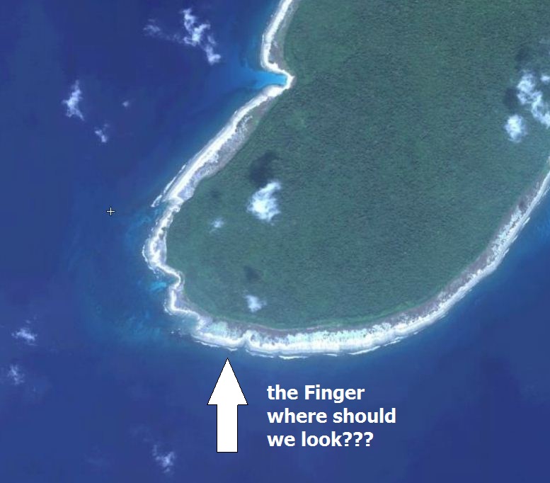
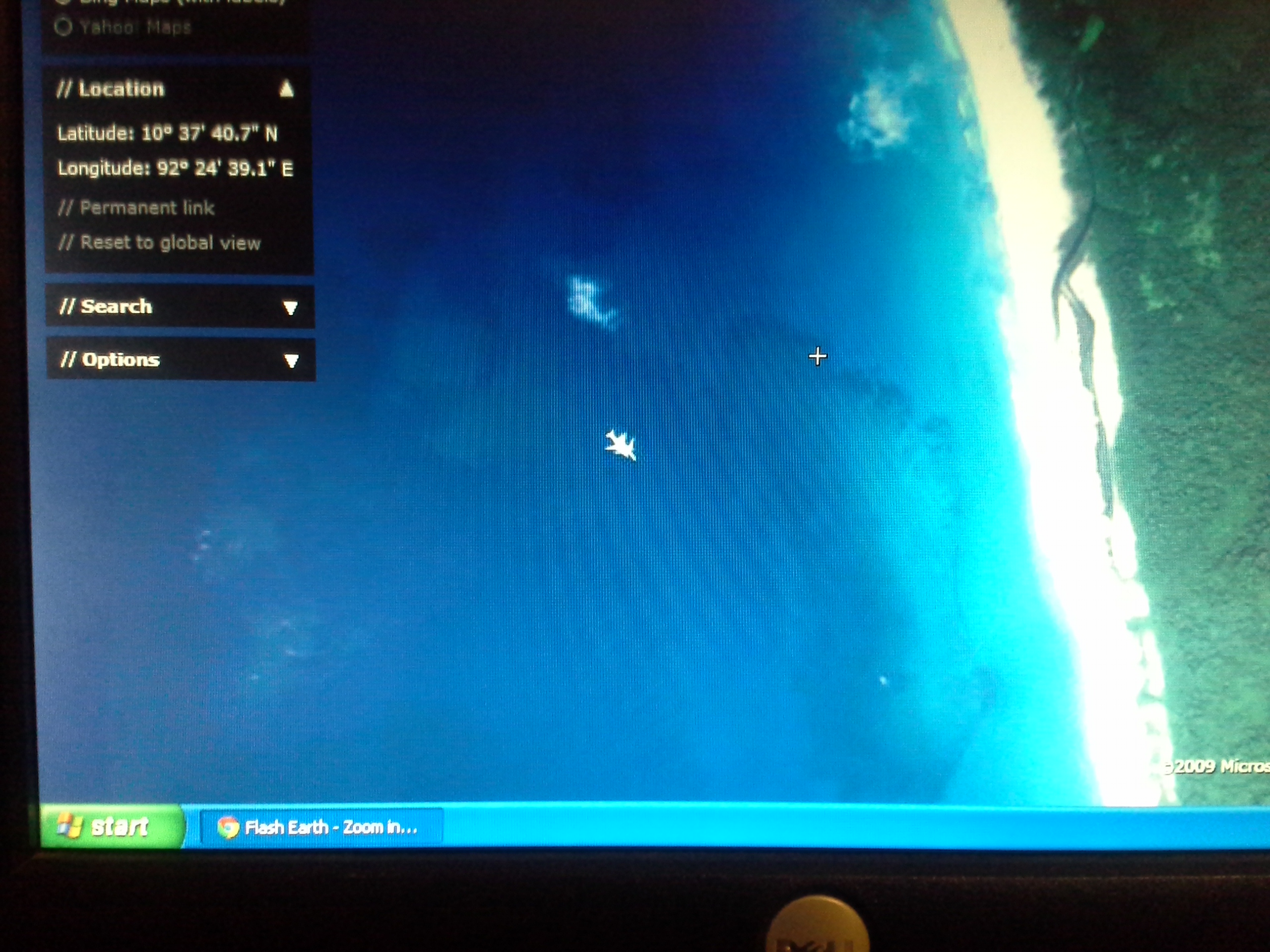
Correct image. Now drag down a bit to the end of the island where it appears to stick out like a finger. Right with in the curve there, is where the coordinates will eventually match up. best to use your mouse/arrow keys to find the coordinates. The area in question is closer to the coast, yet inundated by trees.
Correct image. Now drag down a bit to the end of the island where it appears to stick out like a finger. Right with in the curve there, is where the coordinates will eventually match up. best to use your mouse/arrow keys to find the coordinates. The area in question is closer to the coast, yet inundated by trees.
reply to post by amraks
Here is what that gave me
["id":128148,"overlay_id":1255,"lat":5.652367,"lon":98.843894,"status":1,"msg":"Retrieved map ID = 128148"]
Here is what that gave me
["id":128148,"overlay_id":1255,"lat":5.652367,"lon":98.843894,"status":1,"msg":"Retrieved map ID = 128148"]
reply to post by Zaphod58
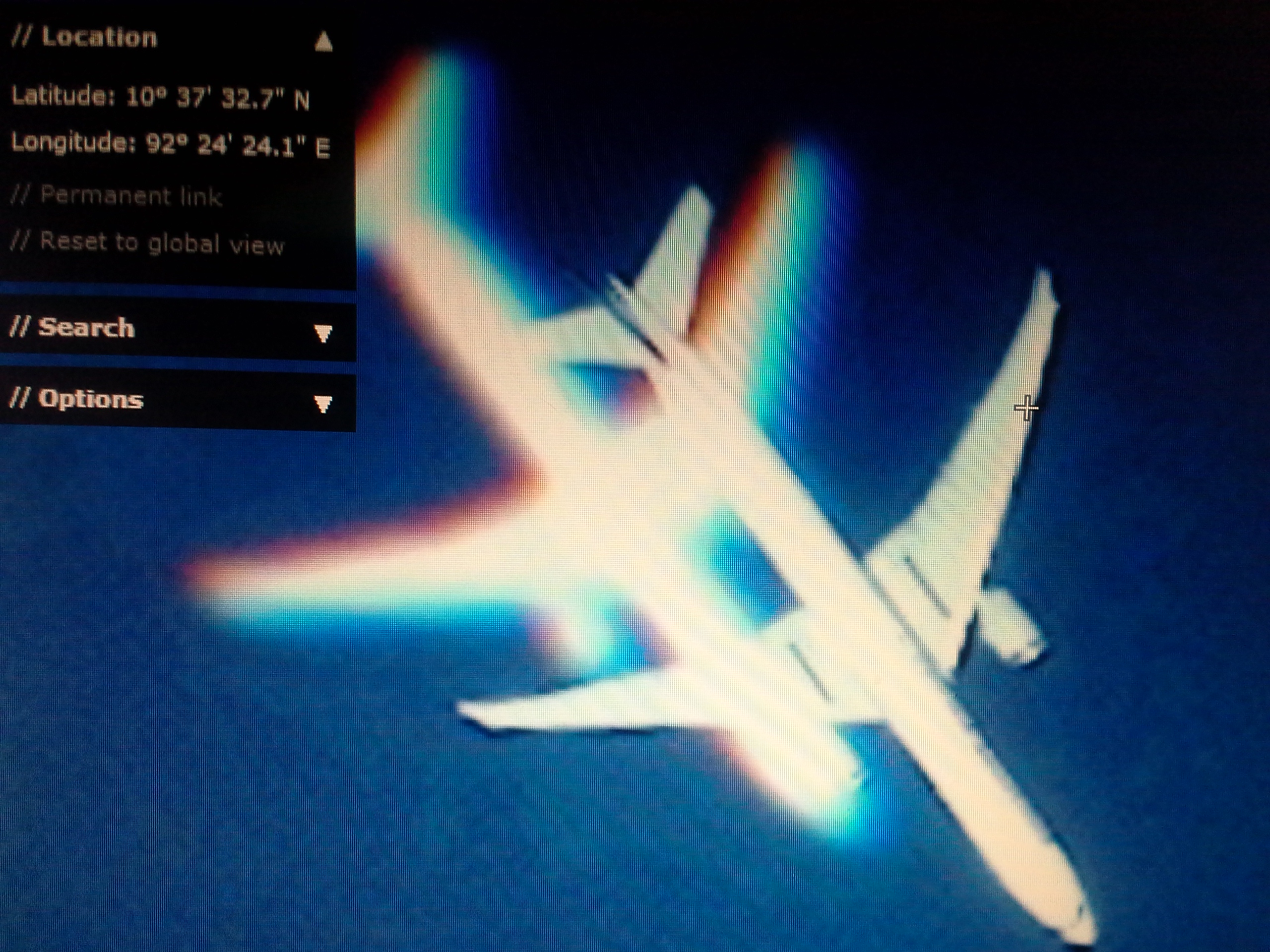
Yes, it does. I have had that image since at least this past weekend so it could've been taken as Flt 370 was experiencing trouble. It is incredibly close to the ground.
Yes, it does. I have had that image since at least this past weekend so it could've been taken as Flt 370 was experiencing trouble. It is incredibly close to the ground.
reply to post by linda1mom
it just seems a bit too concidental for the timing of this whole sad situation...and then to see debris...I just think they should take a look. Even if it was a past crash.
it just seems a bit too concidental for the timing of this whole sad situation...and then to see debris...I just think they should take a look. Even if it was a past crash.
linda1mom
reply to post by Zaphod58
Yes, it does. I have had that image since at least this past weekend so it could've been taken as Flt 370 was experiencing trouble. It is incredibly close to the ground.
Could you enlighten me as to how you can calculate the plane's altitude based on one photograph, when you don't know the satellite's altitude or the focal length of the camera it is using? That plane could be anywhere from a few feet above the waves to cruising height, and the image of it would not look terribly different from the kind of altitude a satellite is taking pictures from.
reply to post by bellagirl
I have a theory on this subject.
If the USA with all their satellites, smart phone trackers, over the horizon radar, electro-magnetic imaging etc etc etc etc can't find that F'N aeroplane, then that means they took it.
Every South Pacific and Indian-Pacific nation with the support of China, France, NORWAY, NZ, and any other interested nation including yours-truly Australia has scoured the Indian Ocean, the Pacific Ocean, the Andeman Seas, the South China Seas etc etc and et'F'n'c but to no avail.
CALL ME A LIAR.
linda1mom
reply to post by zilebeliveunknown
Correct image. Now drag down a bit to the end of the island where it appears to stick out like a finger. Right with in the curve there, is where the coordinates will eventually match up. best to use your mouse/arrow keys to find the coordinates. The area in question is closer to the coast, yet inundated by trees.
Why so vague? Please just give us the co-ordinates! They are right there on the screen! Or place the little white cross precisely over what you see as wreckage and then click the "Permanent link" text and copy the link it gives you, then paste it in here. Otherwise we will never find what you are looking at?
And how come you keep posting images of the plane in flight? We know where that is!
reply to post by linda1mom
The 777 both the 200 and 300 are incredibly popular aircraft. The entire fleet has flown 7 million flights since 1995. A number of airlines have replaced their 747s with 777s.
MH370 was a 777-200 though not a -300.
The 777 both the 200 and 300 are incredibly popular aircraft. The entire fleet has flown 7 million flights since 1995. A number of airlines have replaced their 747s with 777s.
MH370 was a 777-200 though not a -300.
reply to post by zilebeliveunknown
I've looked at that finger and the only thing I can see that might possibly be mistaken for debris is here:

And if you zoom in you can see that it is three wooden fishing boats tied together:

I still don't know if we are meant to be looking in the trees or the water or both!
I've looked at that finger and the only thing I can see that might possibly be mistaken for debris is here:

And if you zoom in you can see that it is three wooden fishing boats tied together:

I still don't know if we are meant to be looking in the trees or the water or both!
reply to post by Trubeeleever
Right, because every inch of the earth, including open ocean is monitored 24/7.
Right, because every inch of the earth, including open ocean is monitored 24/7.
It's been over 8 hrs since they spotted the objects off Australia, still no confirmation on what they are? Why is it taking so long to get there? Is
someone swimming to them? I just don't buy it! I feel like the media or whomever is leading us on a wild goose chase on this, it just feels like
a cover up of some kind, by whom and for what I don't know obviously but I find this new debris field fishy at best.
Linda1Mom has sent me the images via e-mail and i'll post them as i receive them…..
first one….
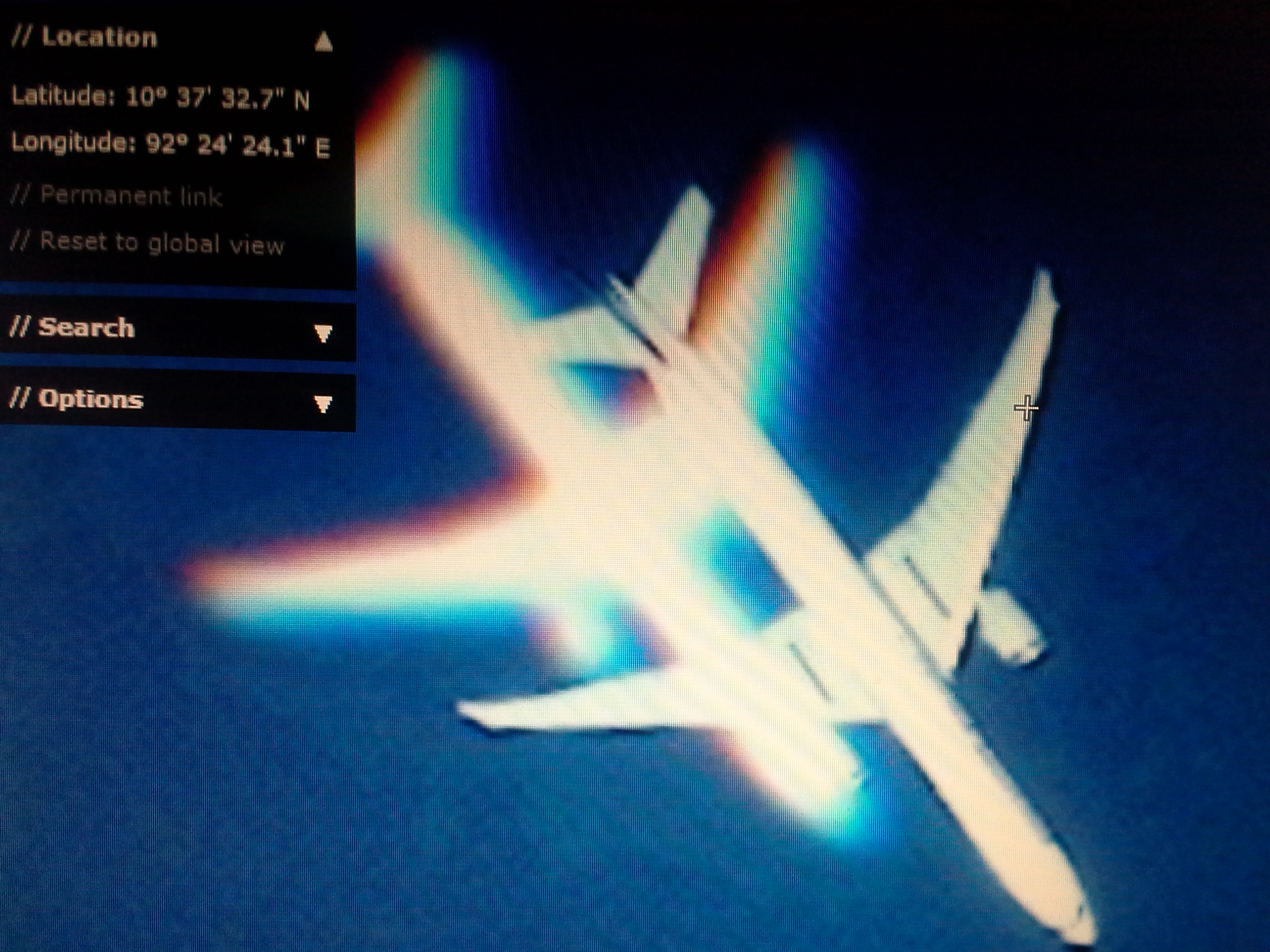
first one….

Here's to betting the "debris" turns out to be old shipping containers.....
Zaphod58
reply to post by zilebeliveunknown
That looks like a 777-300 in flight.
Those are the images member linda1mom posted, I embedded it for easy viewing.
I have no idea why would she post wrong images and then tell us to look on another places???
I'm stumped.
reply to post by Cydonia2012
Several factors:
One: it's a long way from Australia. Given fuel constraints I gather they can only search for two hours at a time with a plane before having to head back. However ships are heading to the area.
Two: poor weather: cloud and rain are affecting visibility.
Three: it's now dark in the region.
Four: they don't have a precise location. Debris can move around quite a bit since those images were captured.
So, you have a short space of time to search a wide area, in poor weather, and now it's got dark. Good luck with that.
new topics
top topics
-
January 6th report shows disturbing trend (nobody is shocked)
US Political Madness: 15 hours ago, 22 flags -
The Truth about Migrant Crime in Britain.
Social Issues and Civil Unrest: 16 hours ago, 11 flags -
Let's talk planes.
General Chit Chat: 13 hours ago, 5 flags -
Inexplicable military simulation - virtual reality showdown in the night..
The Gray Area: 15 hours ago, 2 flags
active topics
-
Greatest thing you ever got, or bought?
General Chit Chat • 23 • : DAVID64 -
ILLUMINATION: Dimensions / Degrees – Da Vincis Last Supper And The Philosophers Stone
Secret Societies • 12 • : Compendium -
The Truth about Migrant Crime in Britain.
Social Issues and Civil Unrest • 13 • : TimBurr -
Stuck Farmer And His Queue Jumping Spawn
Rant • 8 • : TimBurr -
Trudeau Resigns! Breaking
Mainstream News • 68 • : MindBodySpiritComplex -
Live updates: Congress meets to certify Trump's presidential election victory
US Political Madness • 19 • : KrustyKrab -
-@TH3WH17ERABB17- -Q- ---TIME TO SHOW THE WORLD--- -Part- --44--
Dissecting Disinformation • 3953 • : 777Vader -
Judge rules president-elect Donald Trump must be sentenced in 'hush money' trial
US Political Madness • 37 • : JadedGhost -
Post A Funny (T&C Friendly) Pic Part IV: The LOL awakens!
General Chit Chat • 7997 • : KrustyKrab -
Meta Llama local AI system is scary good
Science & Technology • 42 • : Arbitrageur

