It looks like you're using an Ad Blocker.
Please white-list or disable AboveTopSecret.com in your ad-blocking tool.
Thank you.
Some features of ATS will be disabled while you continue to use an ad-blocker.
10
share:
I thought this was pretty cool.
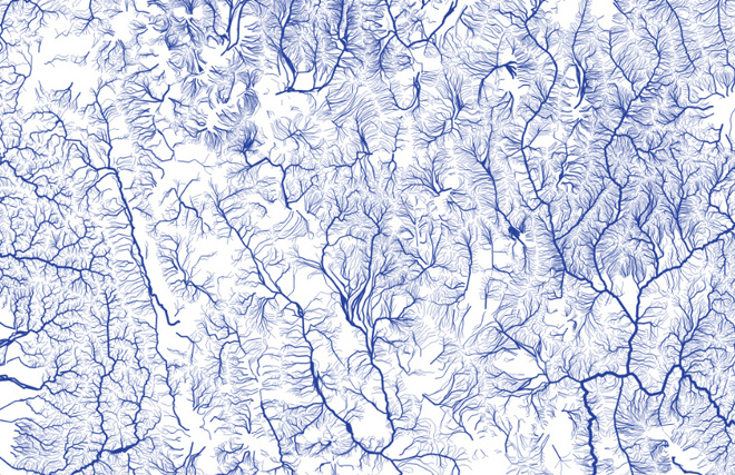
And some people might find that the US is a wetter place than they may have realized. This even shows waterways that are dry most the year.
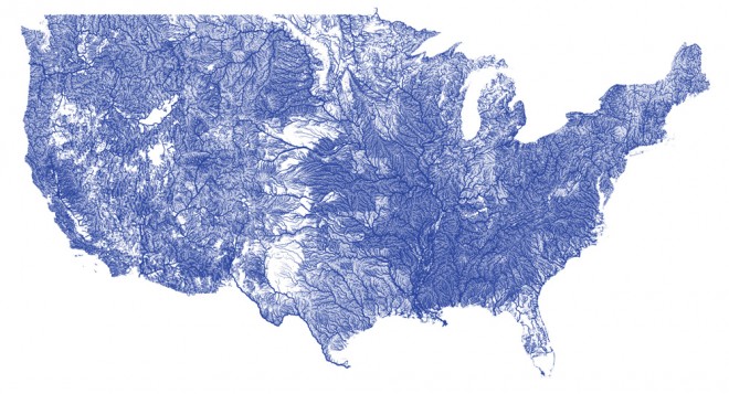
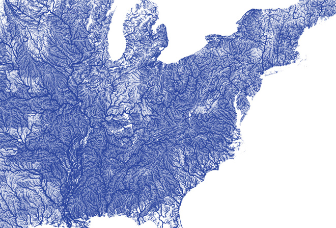
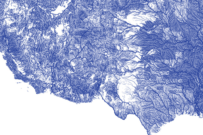
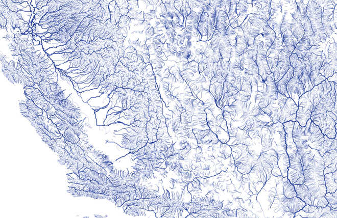
There are a few more images that can be found in the source article.
Link
And some people might find that the US is a wetter place than they may have realized. This even shows waterways that are dry most the year.

o create All Rivers, first Minar gathered information from NHDPlus (National Hydrography Dataset) and put it in a database. He extracted the Strahler number, a measure of how significant a creek is, to determine how large the rivers would appear on the map. From there he built a web server that would allow him to serve the flowline data as vector map tiles, and finally he wrote a JavaScript program that did most of the cartography work for him.


There are a few more images that can be found in the source article.
Link
Almost looks like human capillaries!
Brilliant post, very interesting! Thanks! S & F!
Brilliant post, very interesting! Thanks! S & F!
And here we are... buying bottles of water like it's going out of style.
S&F OP! Very interesting indeed. Also very pretty!
S&F OP! Very interesting indeed. Also very pretty!
Hauntingly beautiful and misleading as none of it is potable. Giardiasis has been found everywhere. Not to mention farming insecticides and
herbicides, animal run off, human trash and garbage, industrial pollutants, and assorted other goodies we may or may not know of. Yeah it looks
pretty, but don't drink it.
Originally posted by dave_welch
reply to post by Iamschist
Making river water potable is a pretty simple process.
Well, yes, as far as giardiasis goes, but a purification tablet won't do anything about most of the crap humans allow to get in the water. Since the government is losing interest in the purity of our aquifers in favor of fracking and even radioactive waste disposal, people should take it on themselves to learn what it takes to really purify water.
That really is a cool map. Stuff like that is what makes me lean toward the Gaia theory.
new topics
-
Plane Crash in South Korea
Mainstream News: 10 hours ago
top topics
-
Cutting Boards
Food and Cooking: 13 hours ago, 8 flags -
Plane Crash in South Korea
Mainstream News: 10 hours ago, 8 flags -
Mexico Plans Alert App For Migrants Facing Arrest In US
Mainstream News: 14 hours ago, 6 flags
10
