It looks like you're using an Ad Blocker.
Please white-list or disable AboveTopSecret.com in your ad-blocking tool.
Thank you.
Some features of ATS will be disabled while you continue to use an ad-blocker.
The Reactionary Conspiracy 16. The Axis secret tunnels to invade the United States of America.
page: 1share:
I have discovered the route of invasion (or at least one of them) the Axis is planning to use in order to invade the United States. It’s a
submarine tunnel that departs from the Galician coast towards North America and, at some point in the Atlantic Ocean, it splits off in two
tunnels, whose ends are in the metropolitan areas of the U.S. cities of Boston and Jacksonville.
This information is by far the most important one I have decoded until now, and should be transmitted to the military intelligence of the United States as soon as possible, because while the conspirators can move Hitler from Bhutan to another safe location, they can’t move these tunnels, so this would be a physical proof of the existence of the conspiracy I’m denouncing in my threads.
The key to decipher this part of the conspiracy are two motion pictures: The third and fourth installments from the Pirates of the Caribbean film series combined with the Basque Y, a high-speed rail network being built between the three capitals of the Basque Autonomous Community in Spain.
• Pirates of the Caribbean: At World's End, released on 25 May 2007.
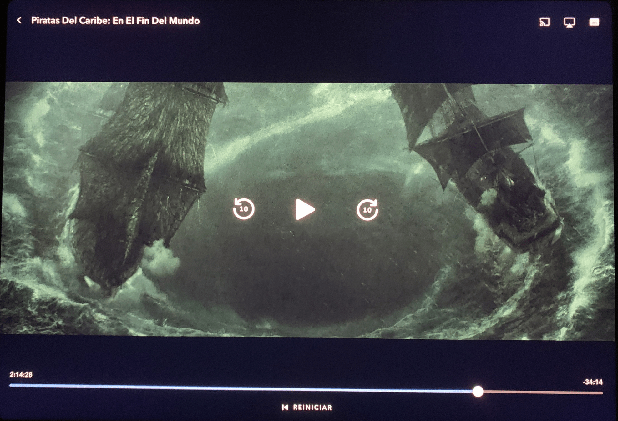
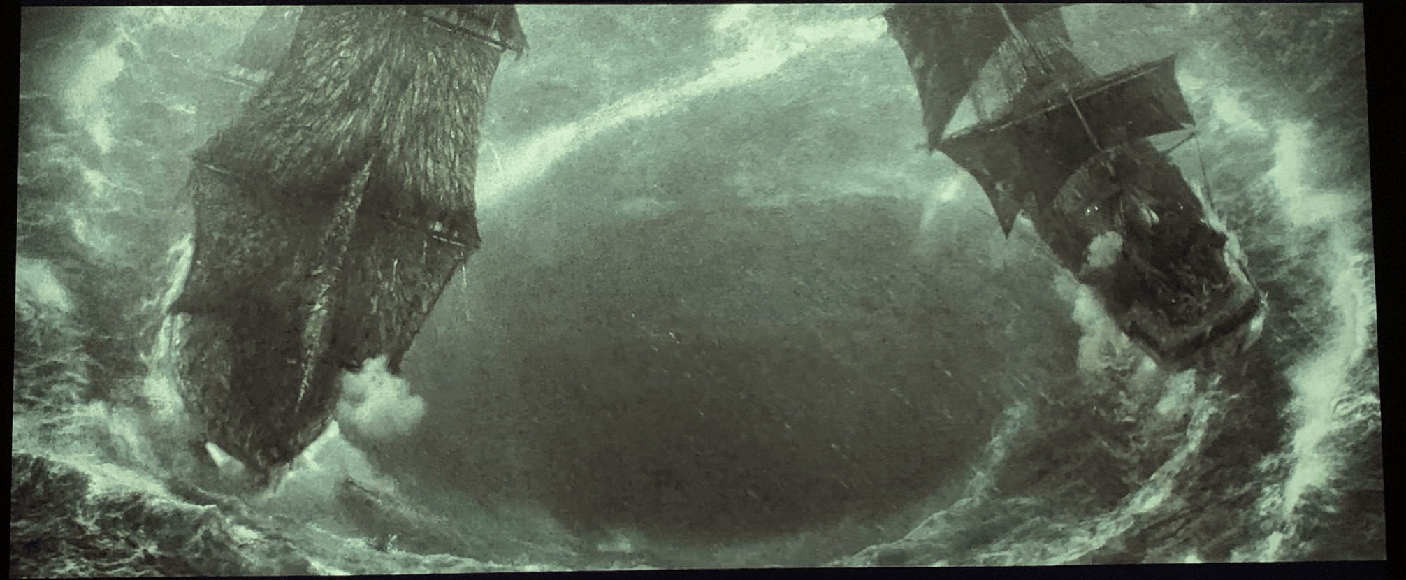
The two ships around a vortex would symbolize the two tunnels (after the bifurcation).
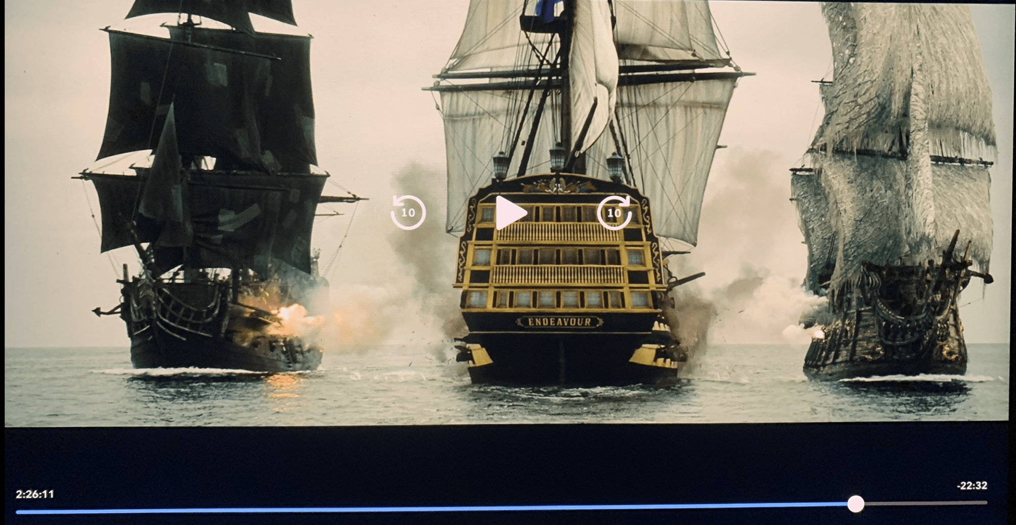
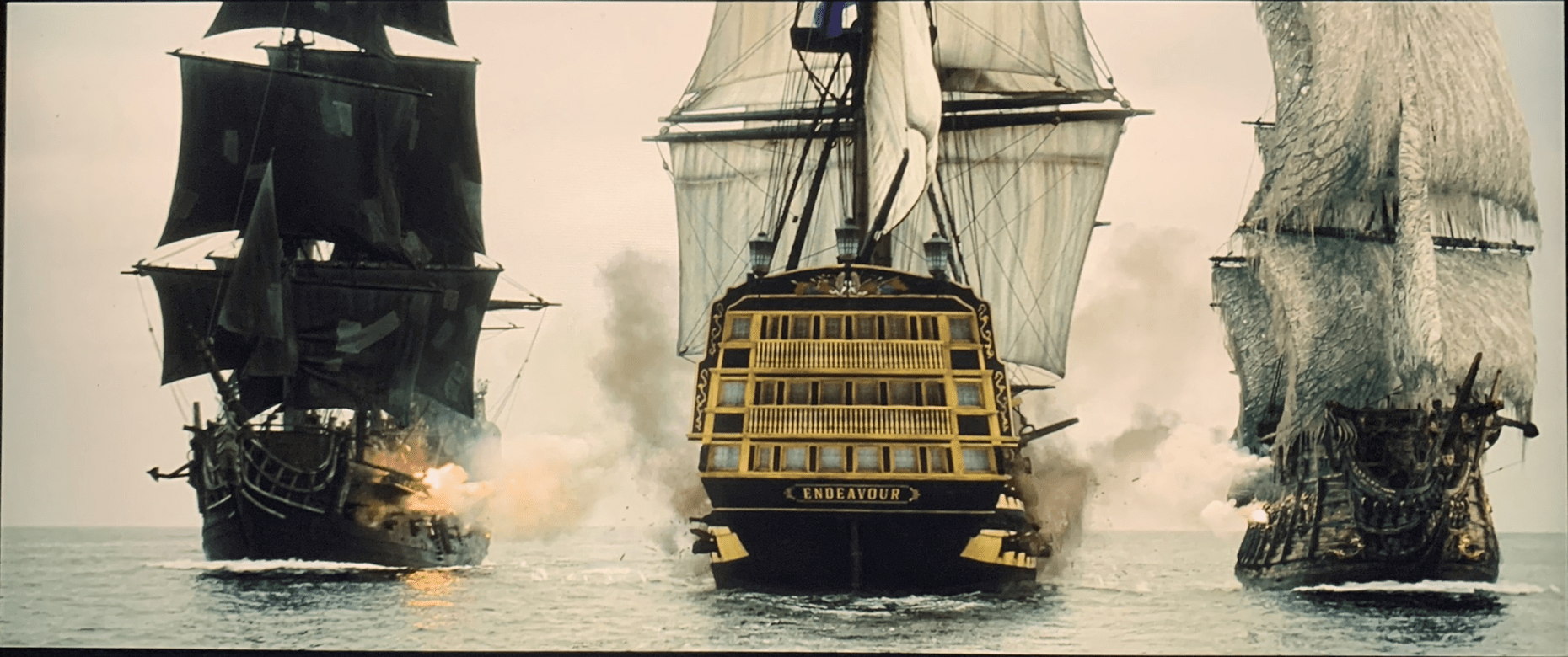
The ship in the middle, the Endeavour, would represent the United States being attacked by surprise through the two tunnels.
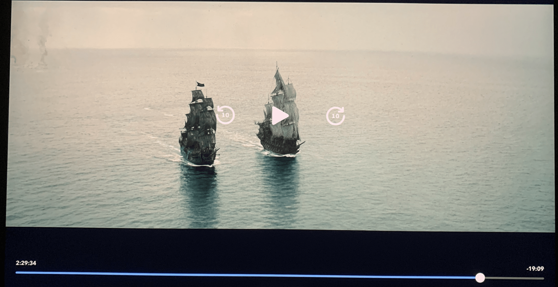
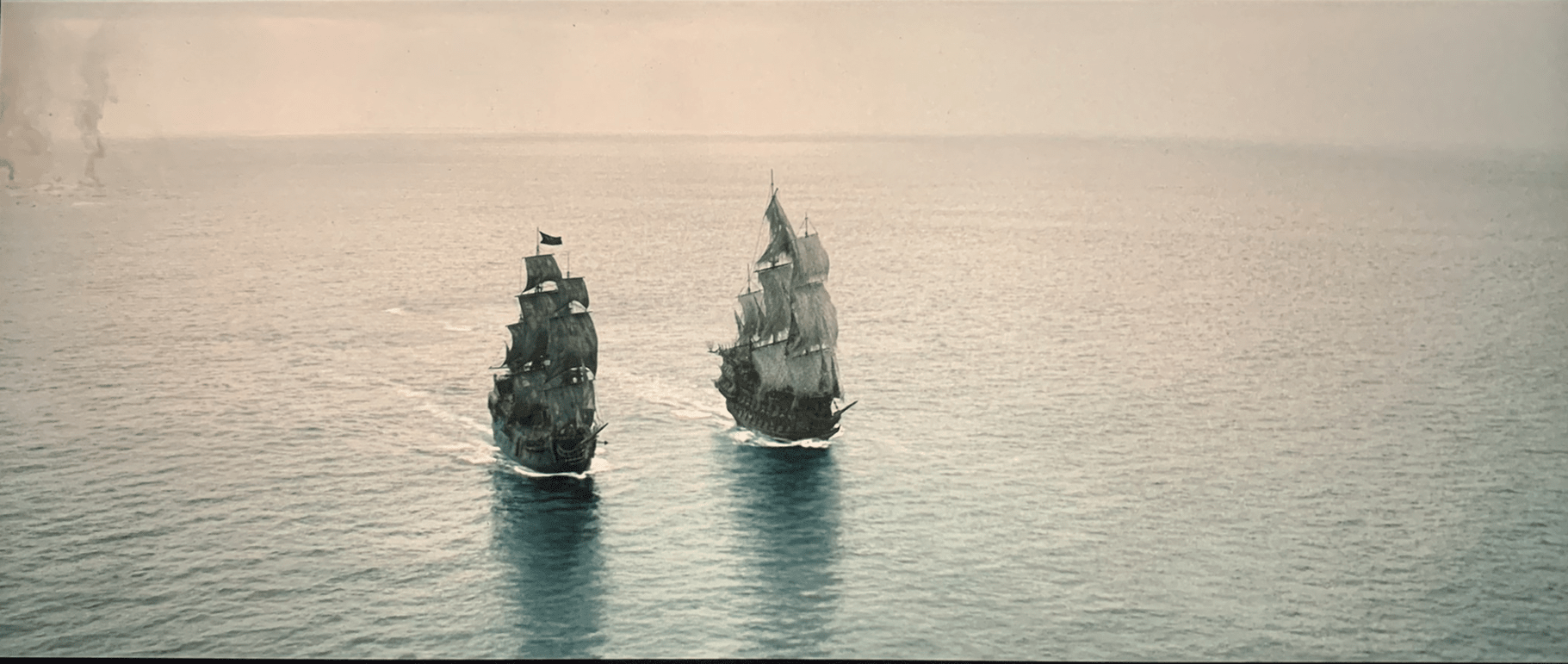
Again, the two ships would represent the Axis forces crossing the Atlantic Ocean through two tunnels.
Towards the end we can see this scene:
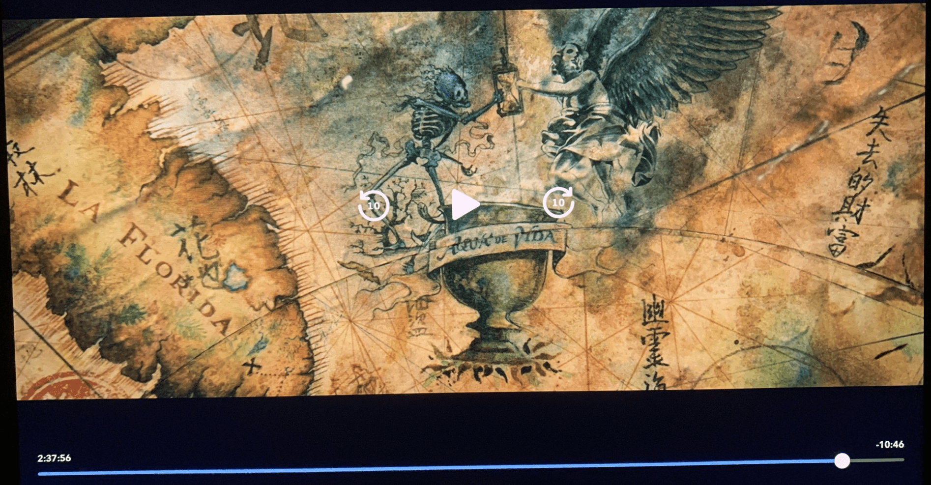
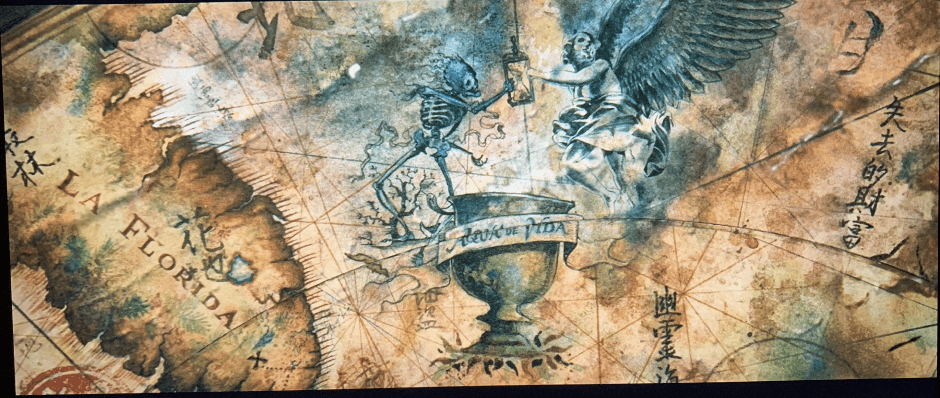
It gives us the first place: Florida.
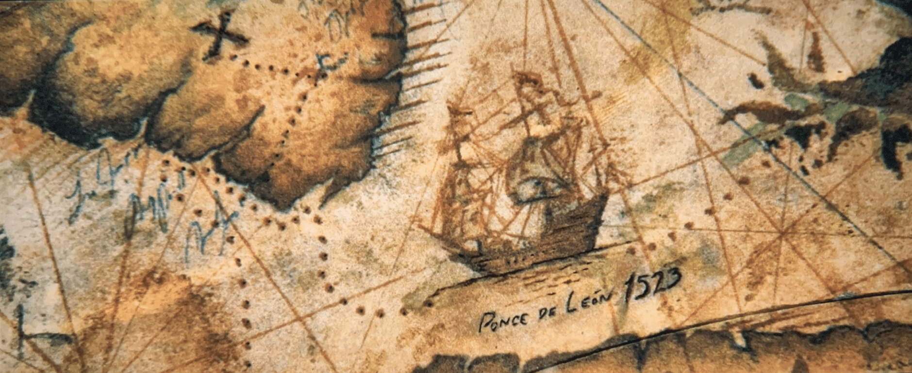
The allusion to 1523 could be a reference to both the beginning of the conspiracy in the 1520s and to the year 2023.
Detail of the drawing:
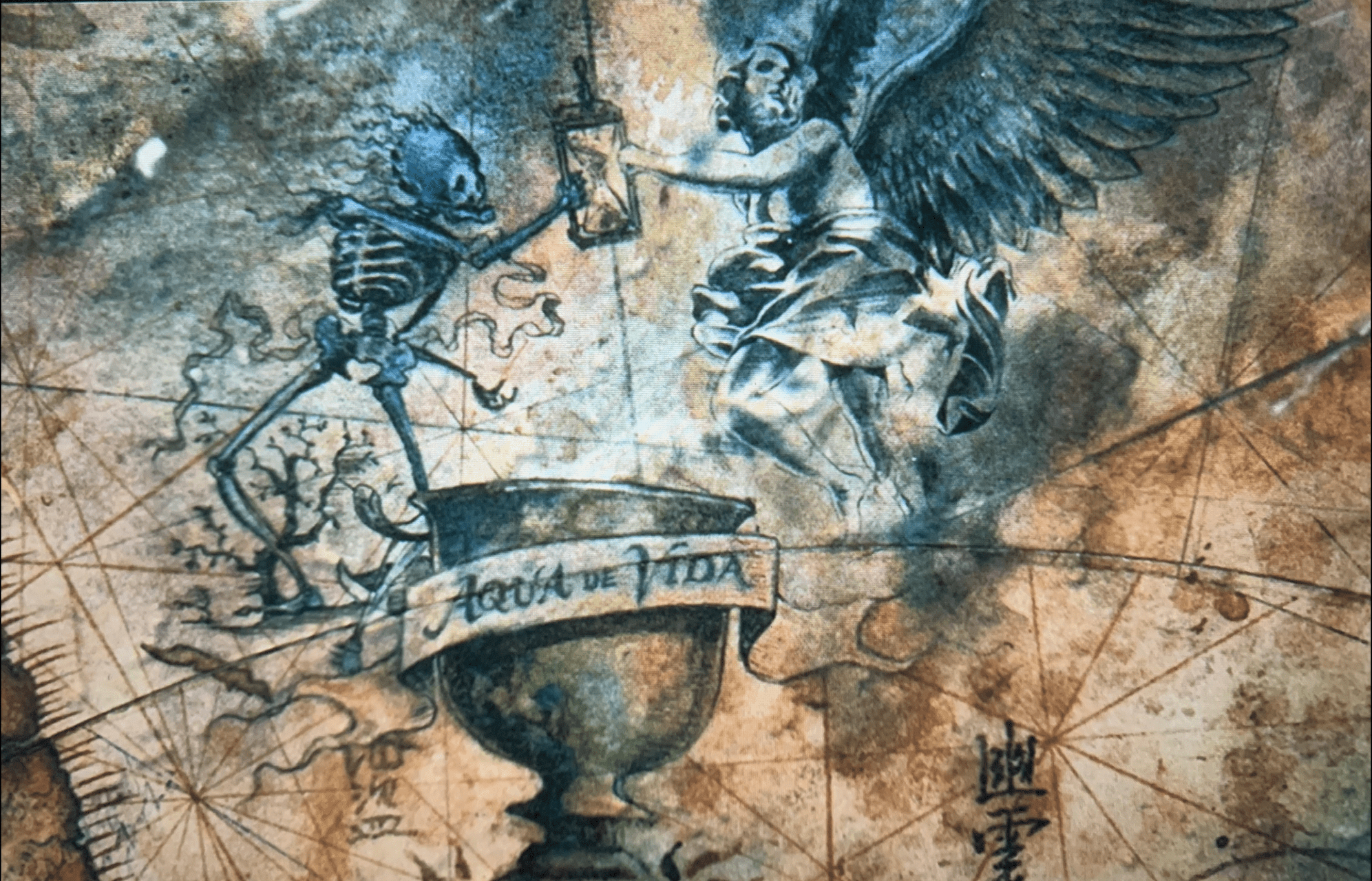
Then I remembered that the fake time traveller John Titor specifically mentioned Jacksonville, Florida as being hit by a nuclear weapon. So, as I know he was an account managed by the conspirators, I can safely deduce that he gave a real location linked to the conspiracy mixed with disinformation, as they always do.
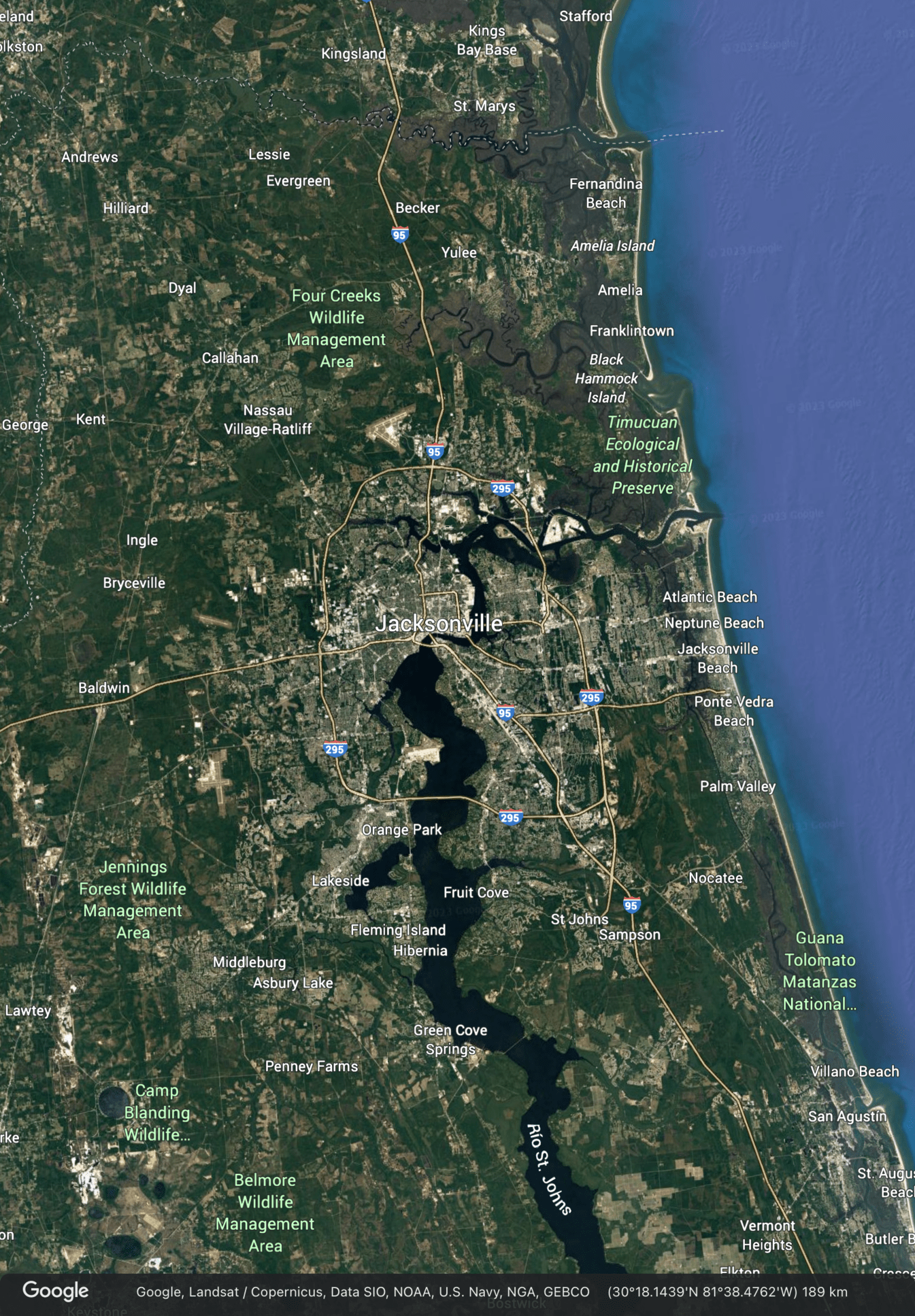
So, from all this information we are able to decipher the first place where this tunnel ends: the metropolitan area of Jacksonville, Florida.
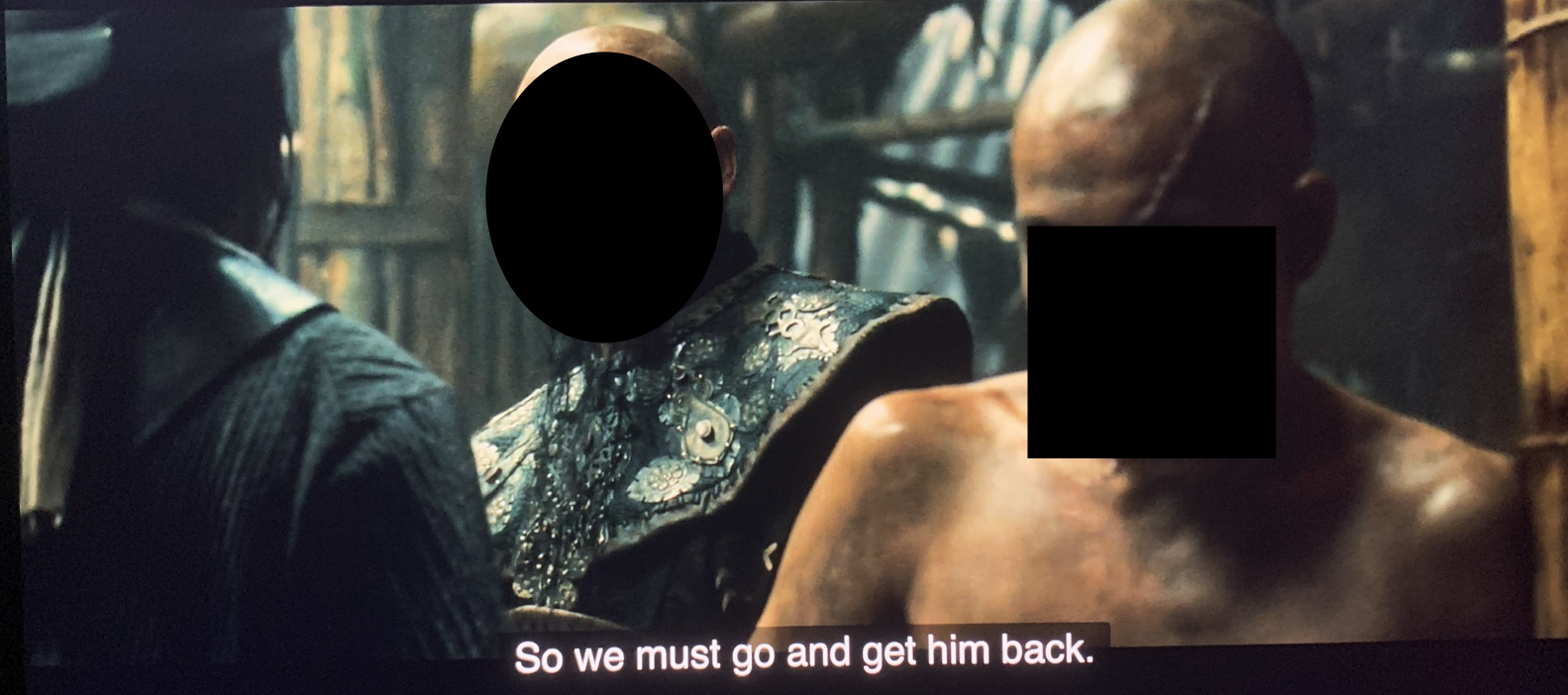
In this brief dialogue we have allusions to both Spain and someone hiding in Bhutan:
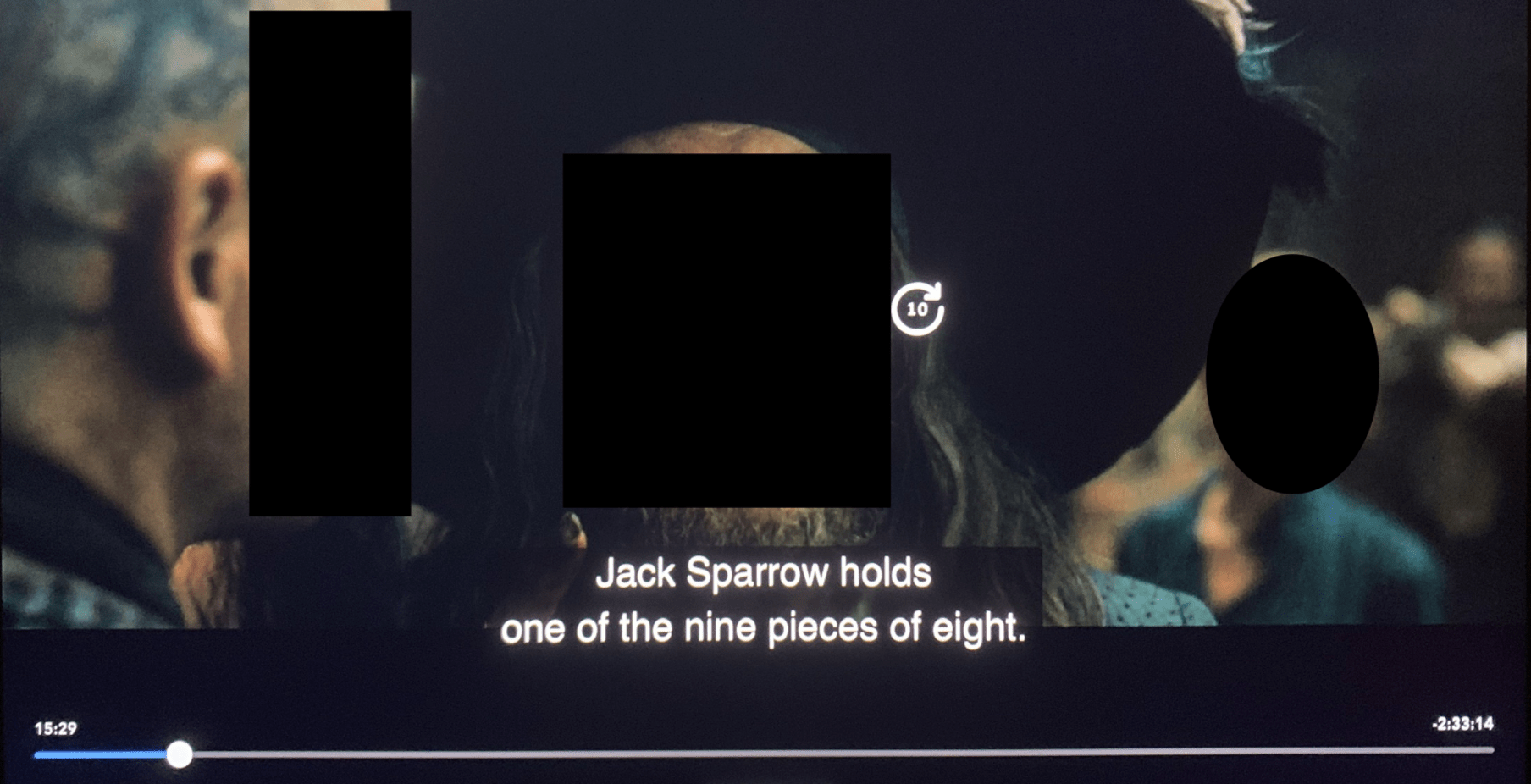
The pieces of eight (reales de a ocho, in Spanish), minted by the Spanish Empire, was world’s first international currency.
Then we see an East-Asian man with a scar in his head and a dragon tattoo on his back.
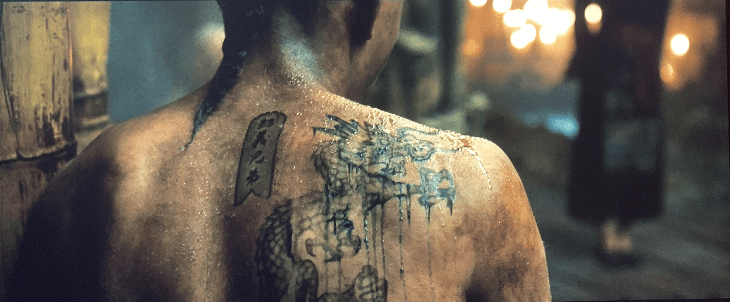
Bhutan is called locally the Kingdom of the Thunder Dragon, a fact reflected in his flag.
A screenshot from this film (because the background was irrelevant):
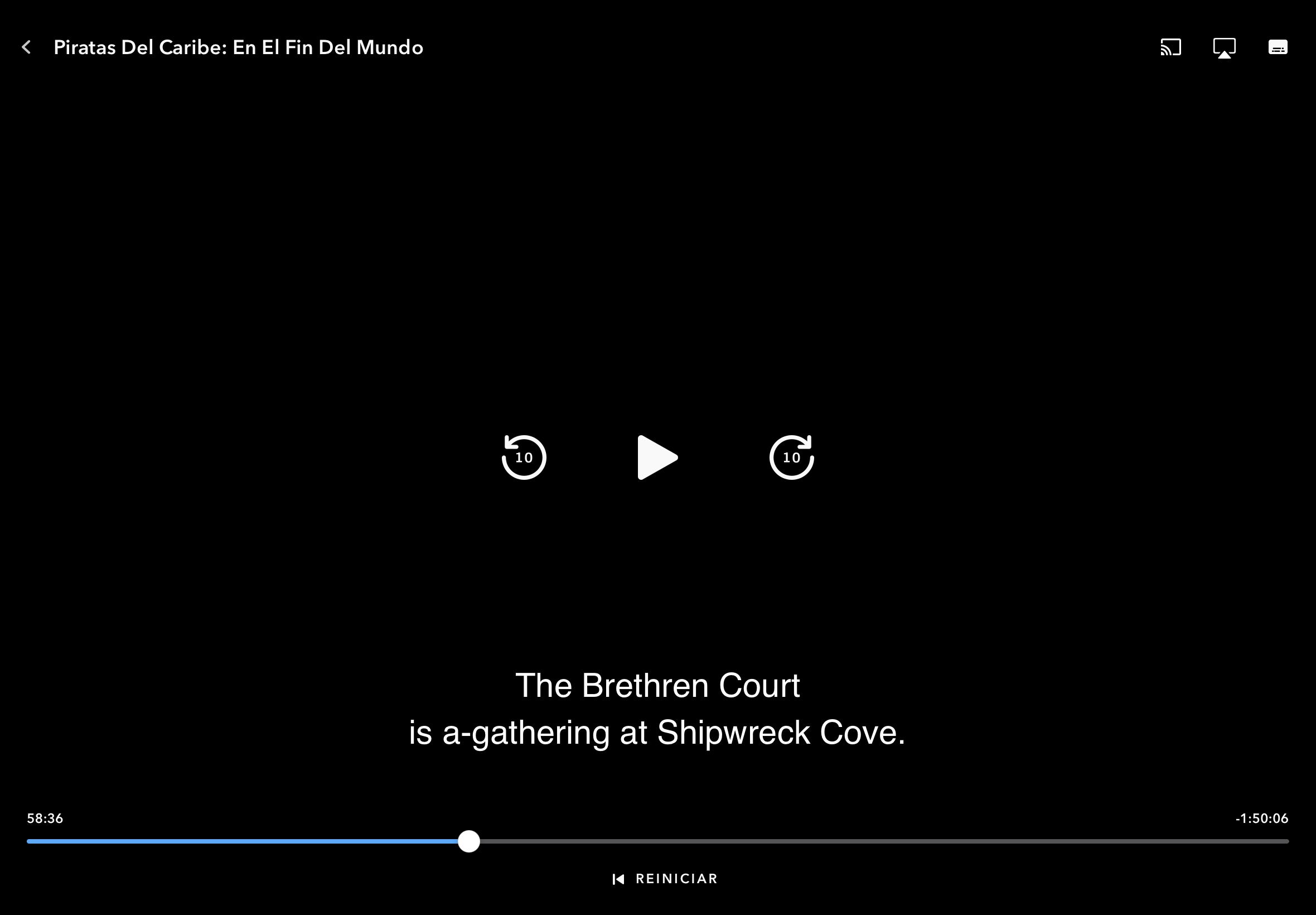
The Brethren Court would be a reference to the Somalia’s Islamic Courts Union that was dissolved in early 2007, the same year this film was released.
Shipwreck Cove would be in the first place a reference to the Bermudas, since this territory has a shipwreck in his coat of arms. And second, it’s also a reference to some places to the south of Jacksonville: Fruit Cove and Green Cove Springs.
The Bermudas are symbolized in the “Basque Y” map with an small triangle, marked in the following image with a red circle:
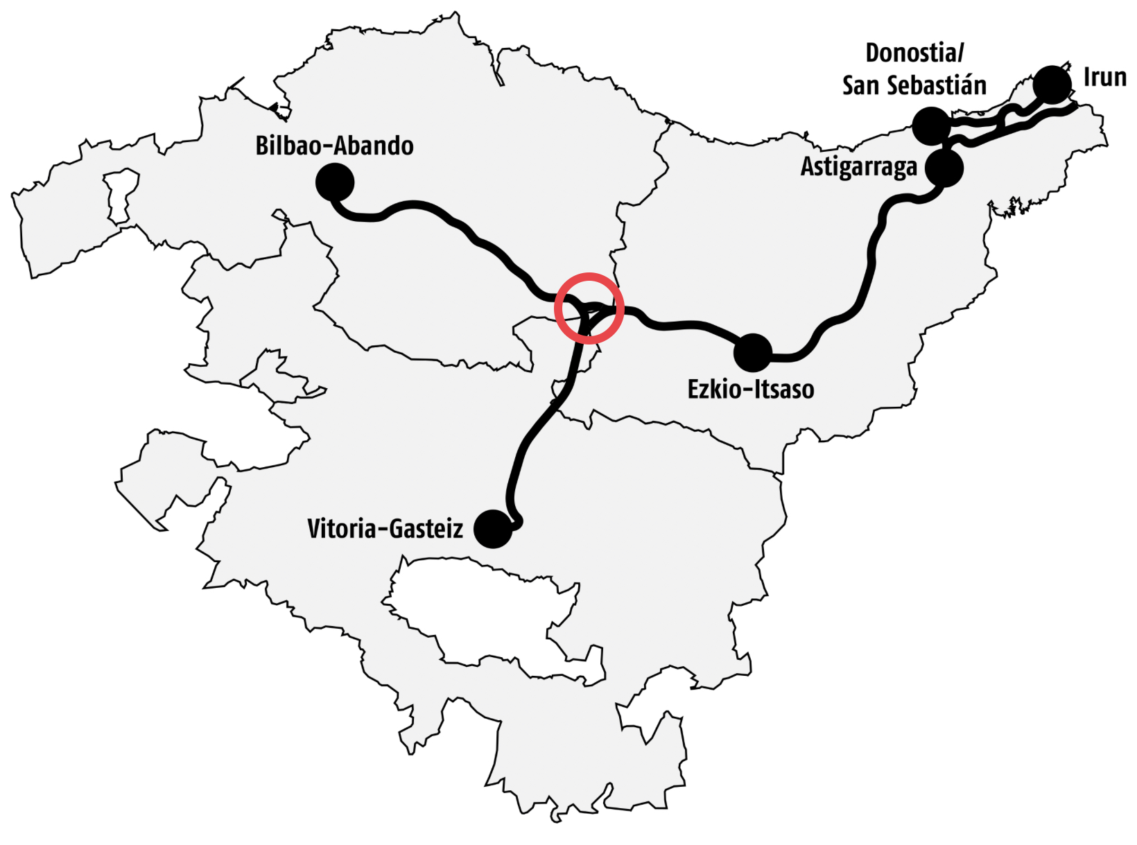
This triangle is a symbolic allusion to the so called Bermuda Triangle, an imaginary triangle in the North Atlantic Ocean where some ships/airplanes would have disappeared during the 20th century.
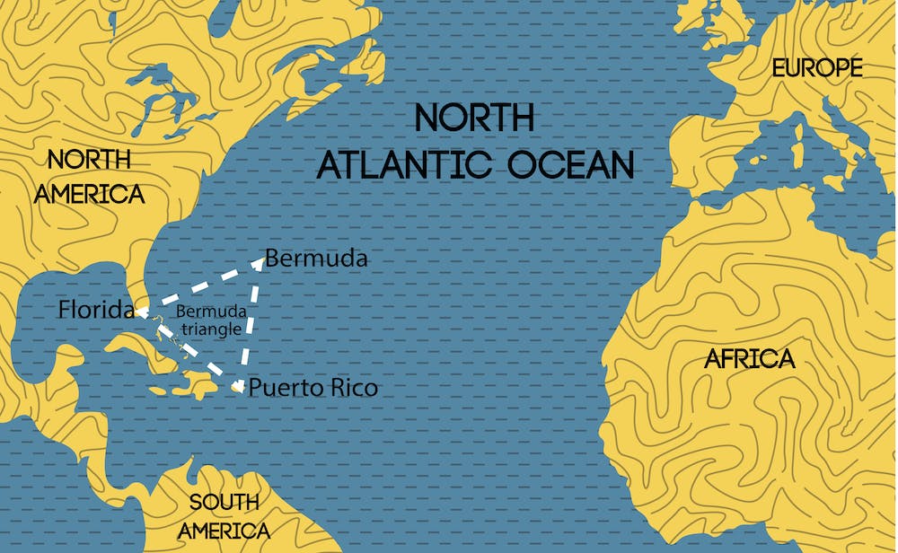
(In reality it’s the conspiracy using a supernatural cover-up to attack ships and airplanes without being detected).
And this allusion to the Bermudas is only to tell that the tunnel splits off in two at some point, maybe near this island.
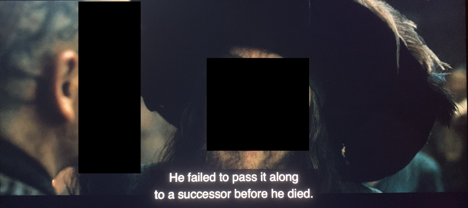
One of the characters has scars on his head:
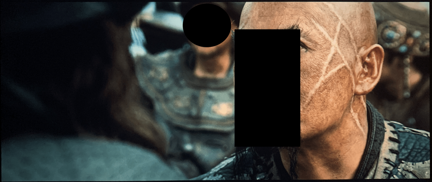
They form the letters A H, which stand for Adolf Hitler.
Another character opens a message:
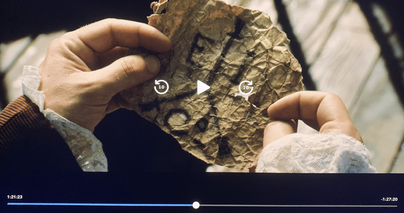
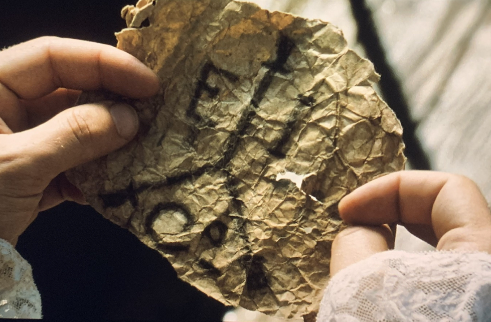
It’s the symbol of an axis, a very clear reference to the Axis, the military coalition of fascist states that is the main component of the conspiracy’s Level Two.
Finally, we see this scene:
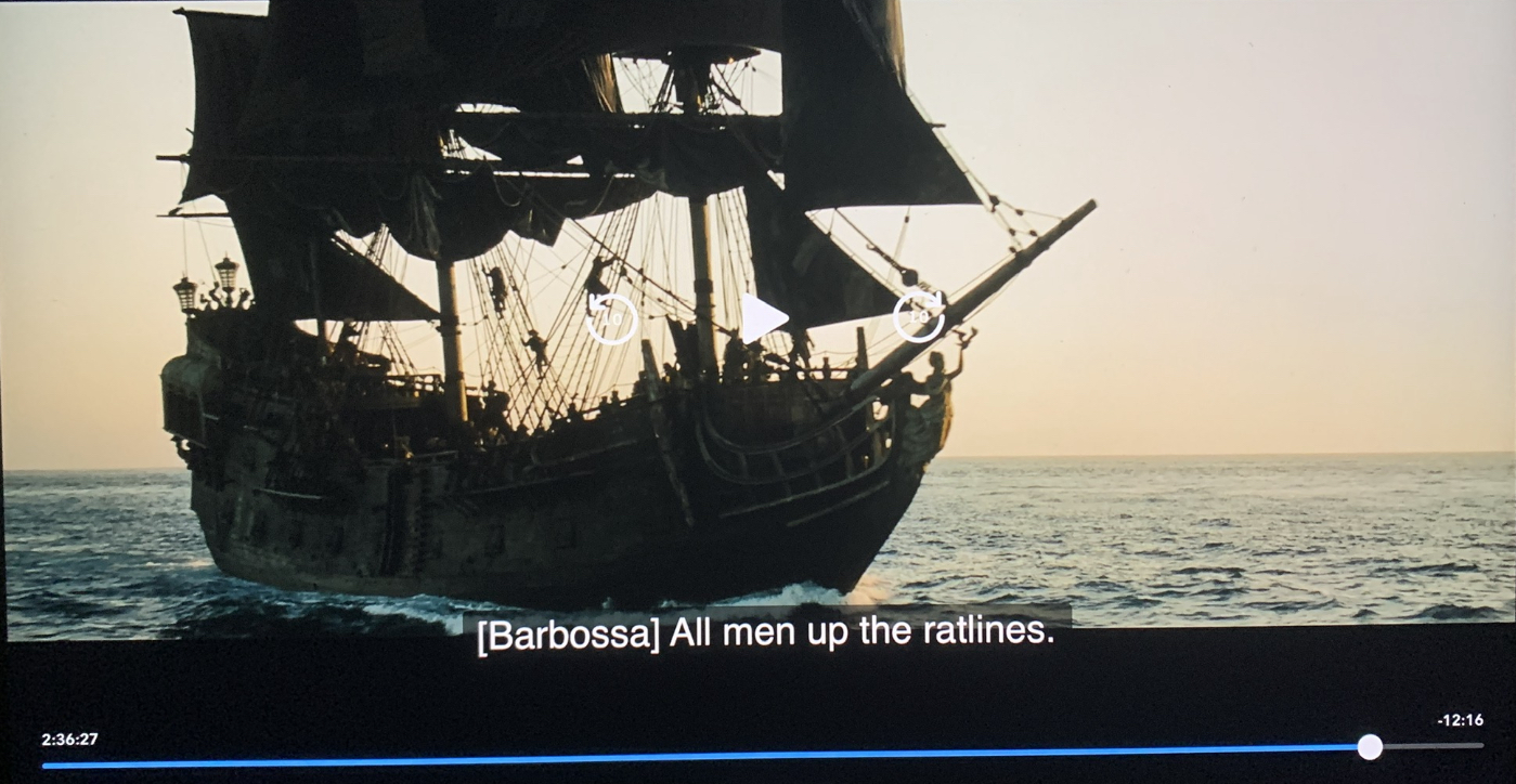
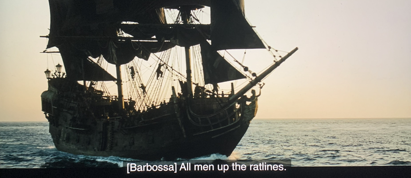
Ratlines were the name of the escape routes of the fascists from 1945 onwards in the aftermath of the Second World War.
Also, the name of one of the main characters, Barbossa, seems a hint to Operation Barbarossa, the code name of the Axis invasion of the USSR that started on 22 June 1941.
Same scene in Spanish:
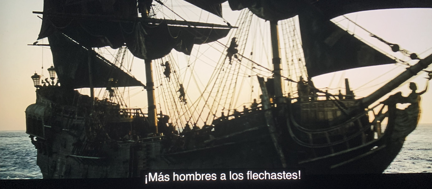
It happens that flechaste (ratline) comes from “flecha” (arrow):

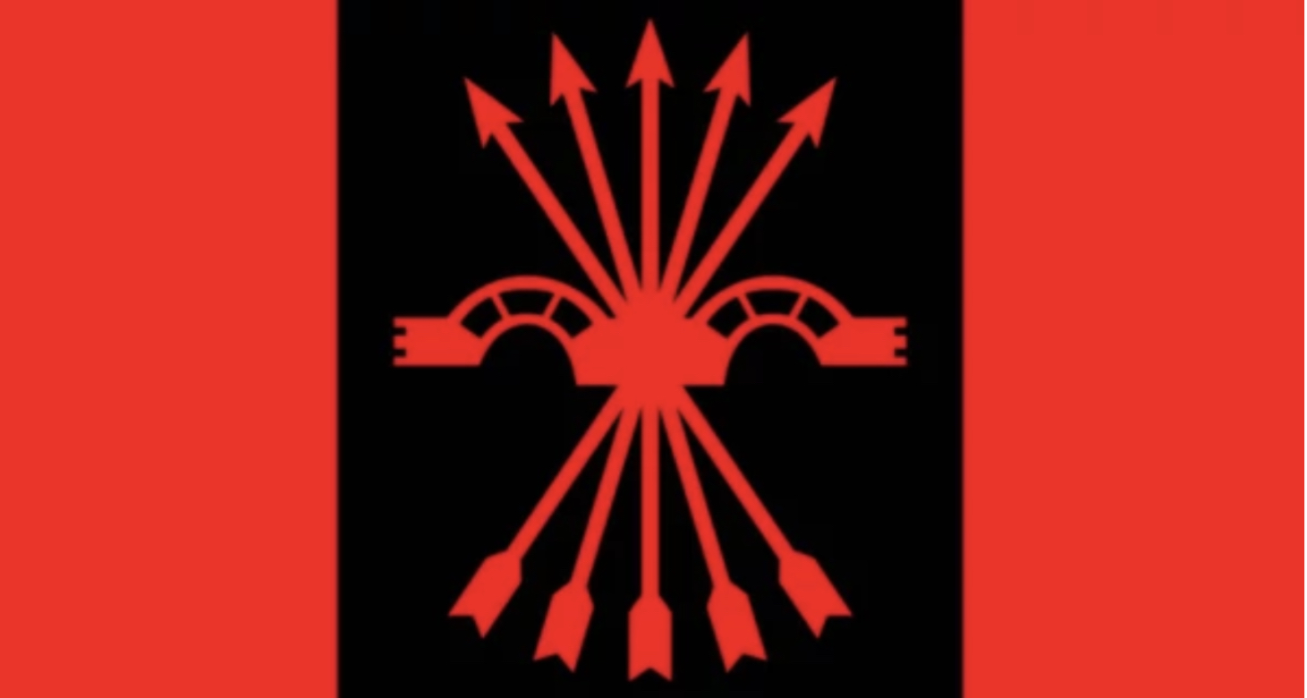
And the flag of the Spanish Phalanx has five arrows on it:
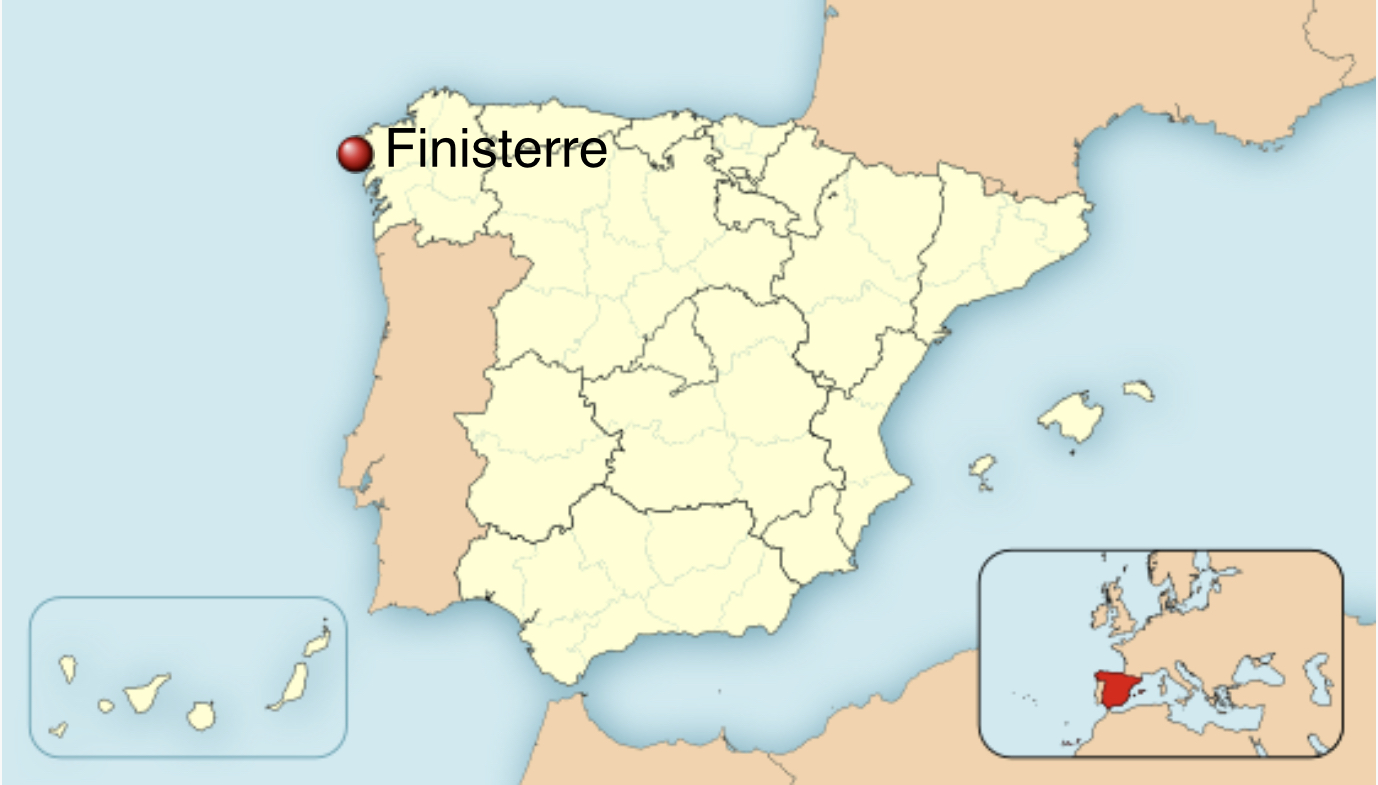
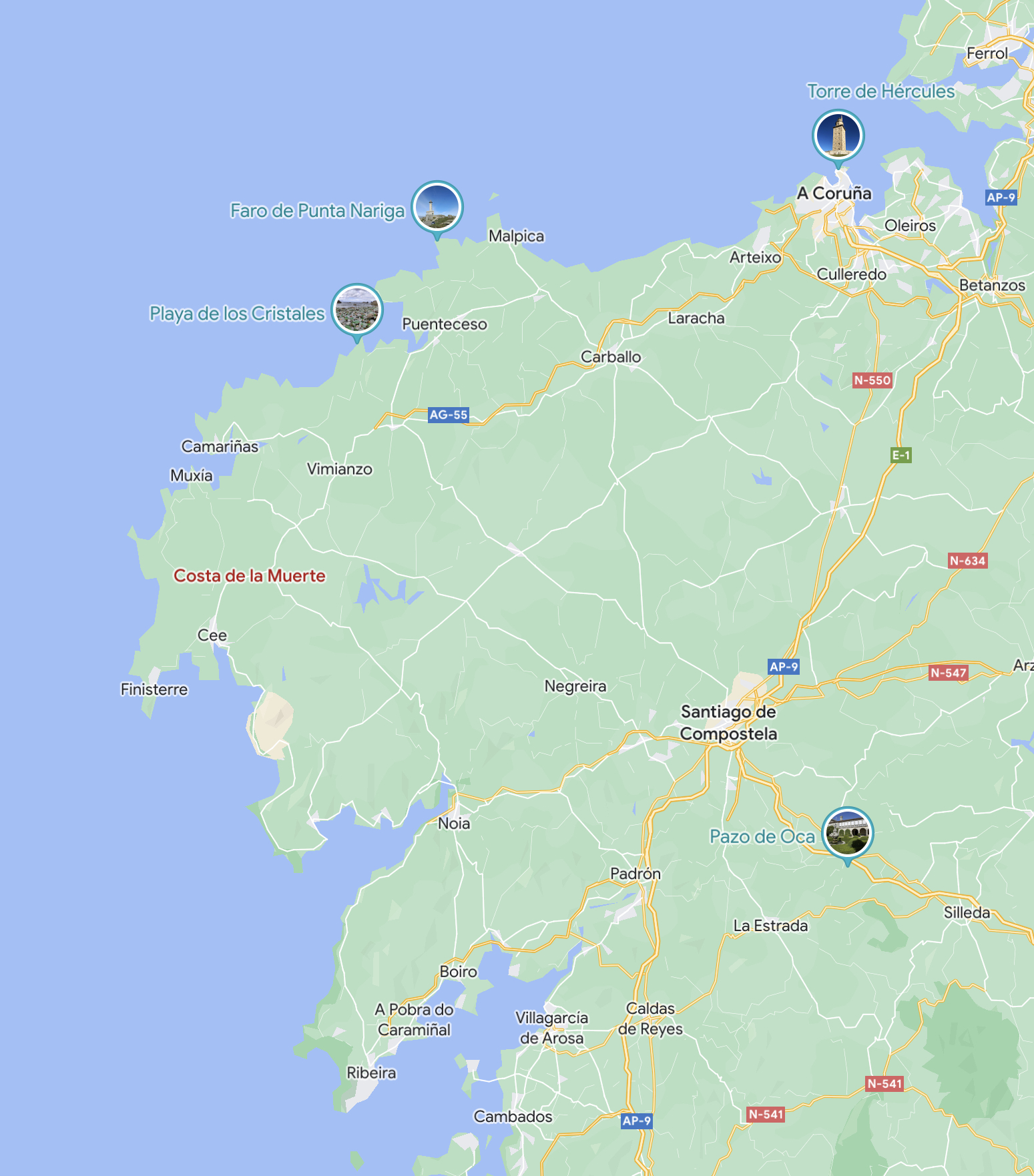
Finisterre (Finis Terrae) means “end of the earth” in Latin, and this name is associated to three places in Galicia: Cape Finisterre, the town where this cape is located and the comarca (shire) whose capital is this town.
Finisterre is said Fisterra in Galician.
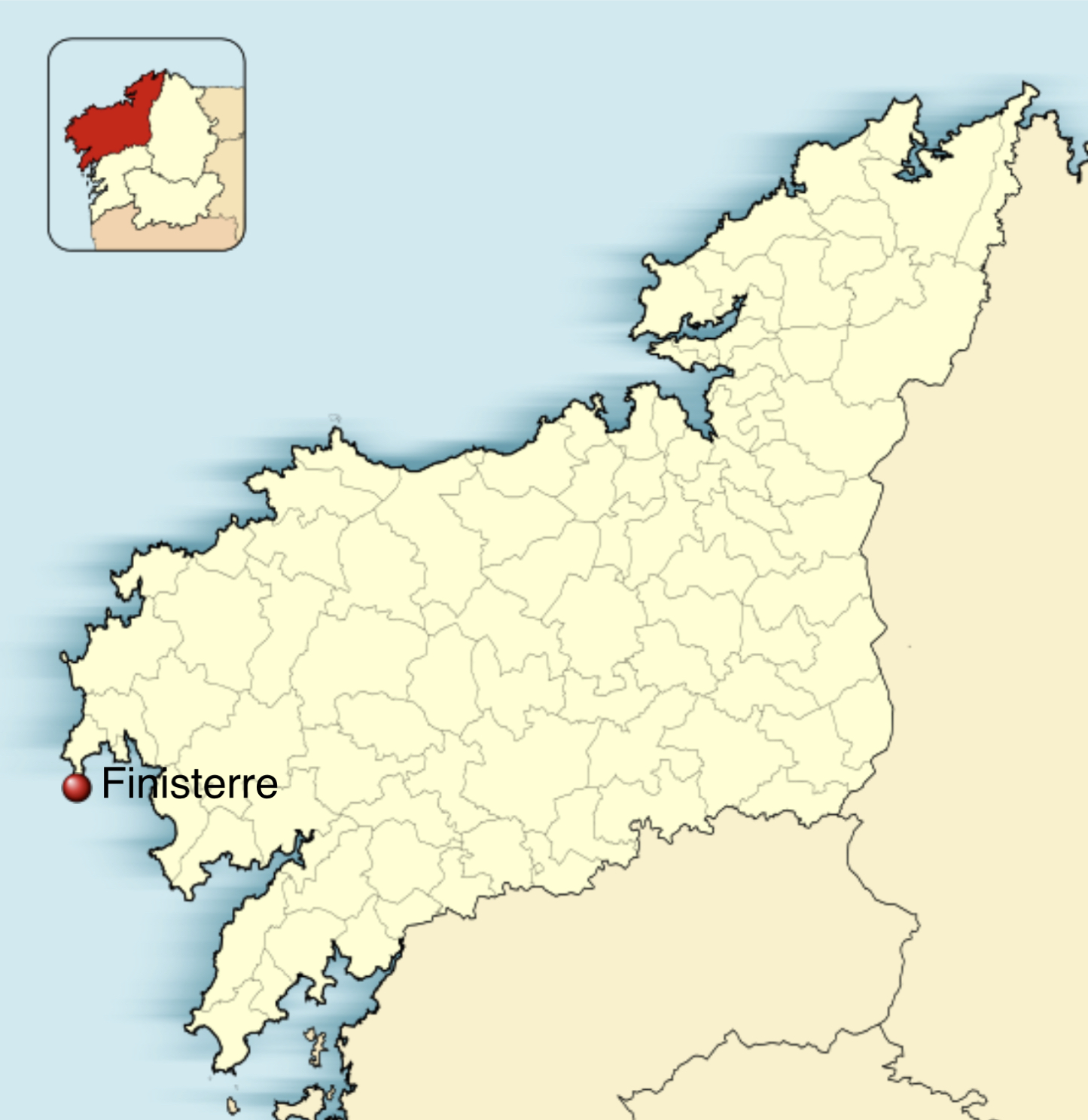
The province of A Coruña/La Coruña:
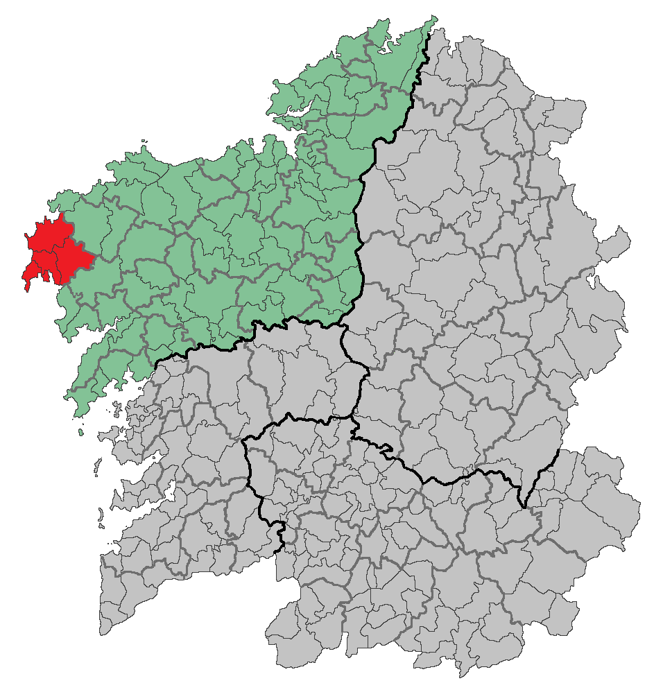
The comarca (shire) of Finisterre/Fisterra highlighted in red:
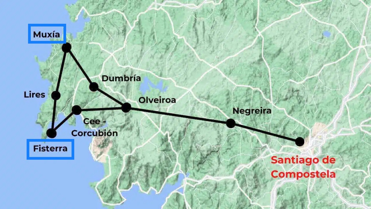
The Camino of Santiago (the Way of St. James) doesn’t end in Santiago de Compostela as most people (including me) would think. I learned a couple of days ago that it has two more endings, like epilogues, in two different coastal cities: Mugía/Muxía and Finisterre/Fisterra:
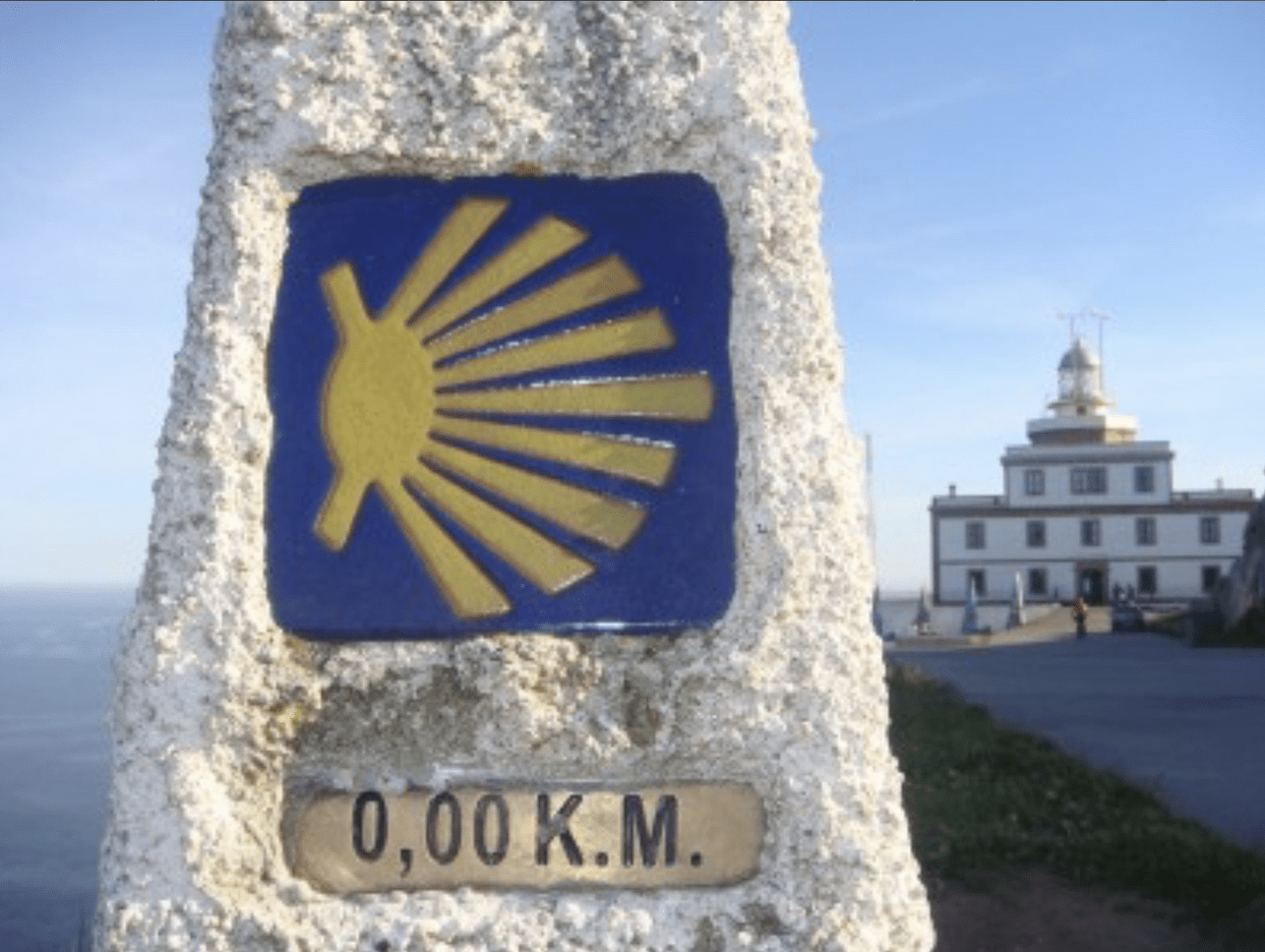
The “kilometre zero” of the Camino de Santiago in Finisterre, with its lighthouse in the background:
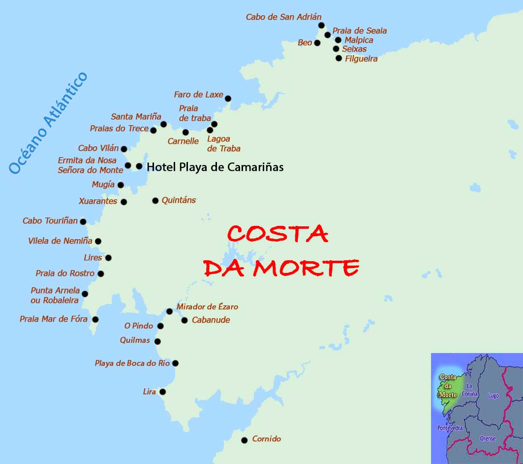
The coast where Finisterre is located is named Costa da Morte (In Spanish: Costa de la Muerte. In English: Death Coast).
This information is by far the most important one I have decoded until now, and should be transmitted to the military intelligence of the United States as soon as possible, because while the conspirators can move Hitler from Bhutan to another safe location, they can’t move these tunnels, so this would be a physical proof of the existence of the conspiracy I’m denouncing in my threads.
The key to decipher this part of the conspiracy are two motion pictures: The third and fourth installments from the Pirates of the Caribbean film series combined with the Basque Y, a high-speed rail network being built between the three capitals of the Basque Autonomous Community in Spain.
• Pirates of the Caribbean: At World's End, released on 25 May 2007.


The two ships around a vortex would symbolize the two tunnels (after the bifurcation).


The ship in the middle, the Endeavour, would represent the United States being attacked by surprise through the two tunnels.


Again, the two ships would represent the Axis forces crossing the Atlantic Ocean through two tunnels.
Towards the end we can see this scene:


It gives us the first place: Florida.

The allusion to 1523 could be a reference to both the beginning of the conspiracy in the 1520s and to the year 2023.
Detail of the drawing:

Then I remembered that the fake time traveller John Titor specifically mentioned Jacksonville, Florida as being hit by a nuclear weapon. So, as I know he was an account managed by the conspirators, I can safely deduce that he gave a real location linked to the conspiracy mixed with disinformation, as they always do.
So, from all this information we are able to decipher the first place where this tunnel ends: the metropolitan area of Jacksonville, Florida.

In this brief dialogue we have allusions to both Spain and someone hiding in Bhutan:

The pieces of eight (reales de a ocho, in Spanish), minted by the Spanish Empire, was world’s first international currency.

Then we see an East-Asian man with a scar in his head and a dragon tattoo on his back.


Bhutan is called locally the Kingdom of the Thunder Dragon, a fact reflected in his flag.
A screenshot from this film (because the background was irrelevant):

The Brethren Court would be a reference to the Somalia’s Islamic Courts Union that was dissolved in early 2007, the same year this film was released.
Shipwreck Cove would be in the first place a reference to the Bermudas, since this territory has a shipwreck in his coat of arms. And second, it’s also a reference to some places to the south of Jacksonville: Fruit Cove and Green Cove Springs.
The Bermudas are symbolized in the “Basque Y” map with an small triangle, marked in the following image with a red circle:

This triangle is a symbolic allusion to the so called Bermuda Triangle, an imaginary triangle in the North Atlantic Ocean where some ships/airplanes would have disappeared during the 20th century.

(In reality it’s the conspiracy using a supernatural cover-up to attack ships and airplanes without being detected).
And this allusion to the Bermudas is only to tell that the tunnel splits off in two at some point, maybe near this island.
One of the characters has scars on his head:

They form the letters A H, which stand for Adolf Hitler.
Another character opens a message:


It’s the symbol of an axis, a very clear reference to the Axis, the military coalition of fascist states that is the main component of the conspiracy’s Level Two.
Finally, we see this scene:


Ratlines were the name of the escape routes of the fascists from 1945 onwards in the aftermath of the Second World War.
Also, the name of one of the main characters, Barbossa, seems a hint to Operation Barbarossa, the code name of the Axis invasion of the USSR that started on 22 June 1941.
Same scene in Spanish:

It happens that flechaste (ratline) comes from “flecha” (arrow):

And the flag of the Spanish Phalanx has five arrows on it:

Finisterre (Finis Terrae) means “end of the earth” in Latin, and this name is associated to three places in Galicia: Cape Finisterre, the town where this cape is located and the comarca (shire) whose capital is this town.
Finisterre is said Fisterra in Galician.

The province of A Coruña/La Coruña:

The comarca (shire) of Finisterre/Fisterra highlighted in red:

The Camino of Santiago (the Way of St. James) doesn’t end in Santiago de Compostela as most people (including me) would think. I learned a couple of days ago that it has two more endings, like epilogues, in two different coastal cities: Mugía/Muxía and Finisterre/Fisterra:

The “kilometre zero” of the Camino de Santiago in Finisterre, with its lighthouse in the background:

The coast where Finisterre is located is named Costa da Morte (In Spanish: Costa de la Muerte. In English: Death Coast).


• Pirates of the Caribbean: On Stranger Tides, released on
20 May 2011.
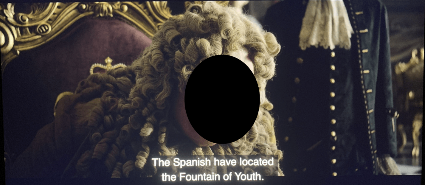
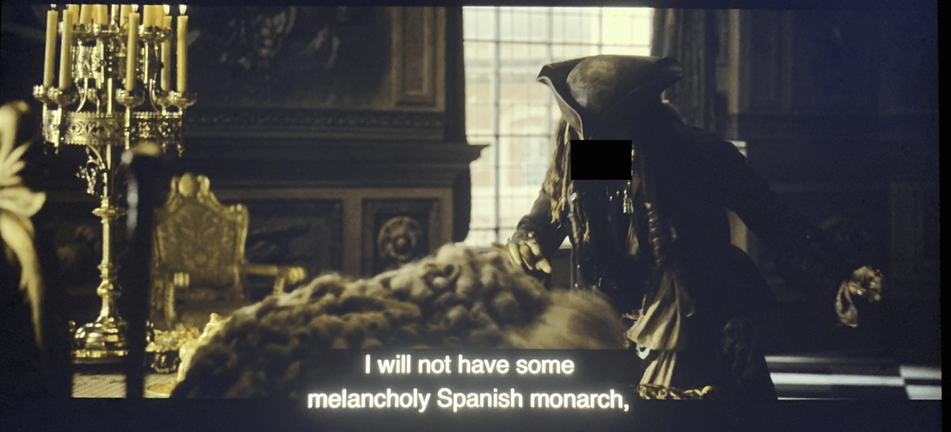
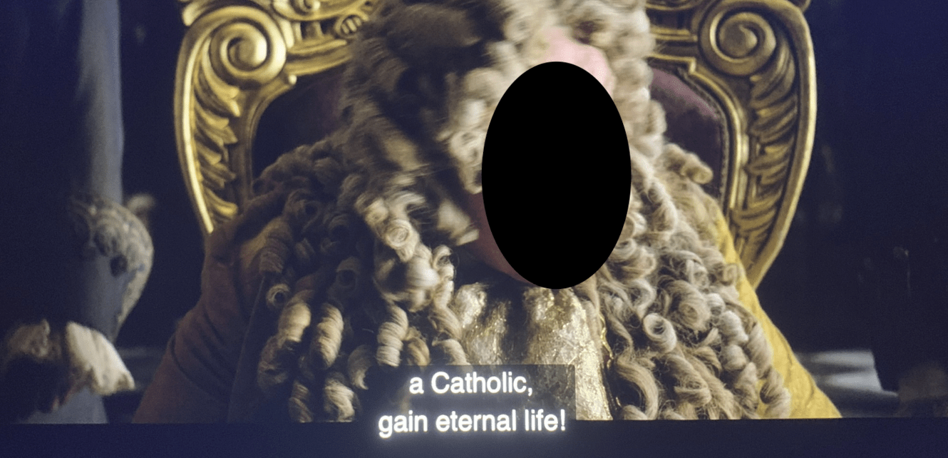
At the beginning there is a scene where the British King is talking about the Spanish King:
The following scene gives very important information to help us decipher this part of the puzzle:
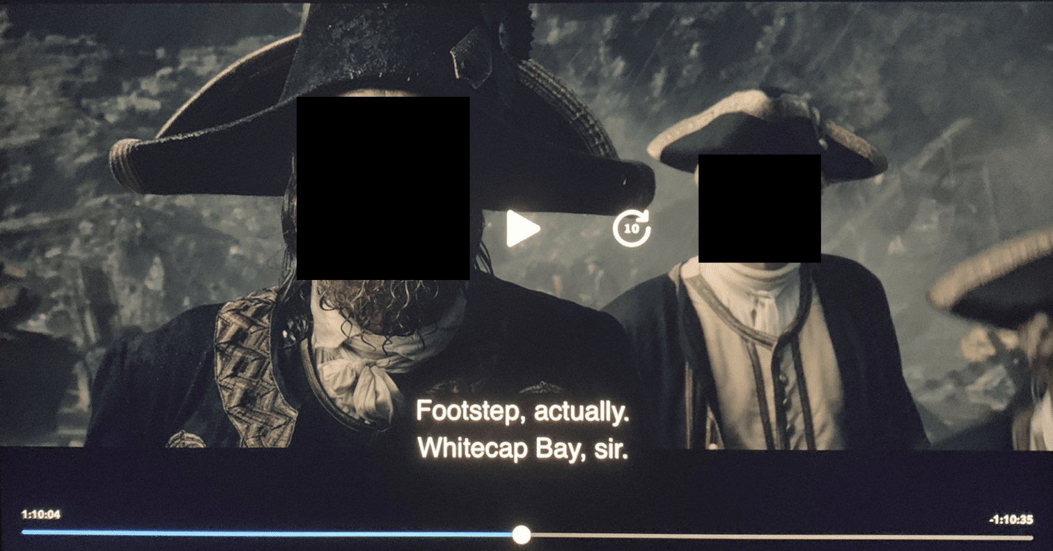
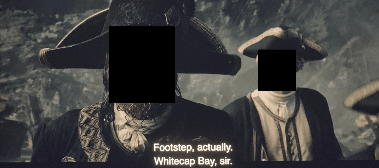
The USS Whitecap was a ship from Boston that partook in the First World War.
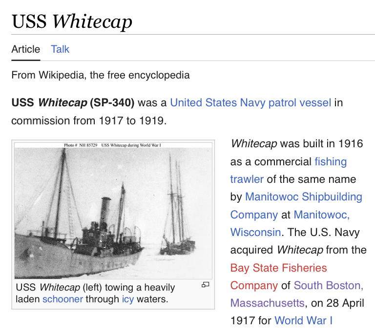
The hull number SP-340 tells us that the information of the Spanish tunnels is hidden in the third and fourth installments of this film series.
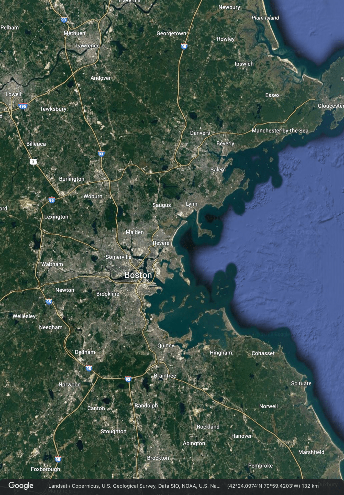
Thus, we learn the location of the second tunnel’s end: the metropolitan area of Boston, Massachusetts.
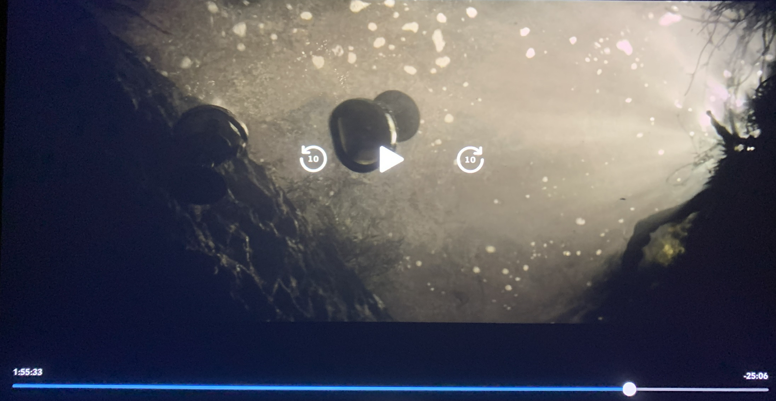
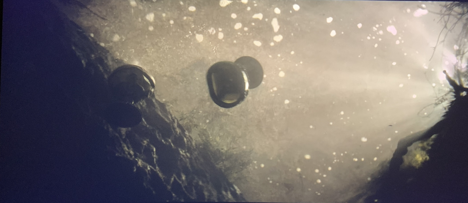
These two cups sinking would symbolize the two submarine tunnels:
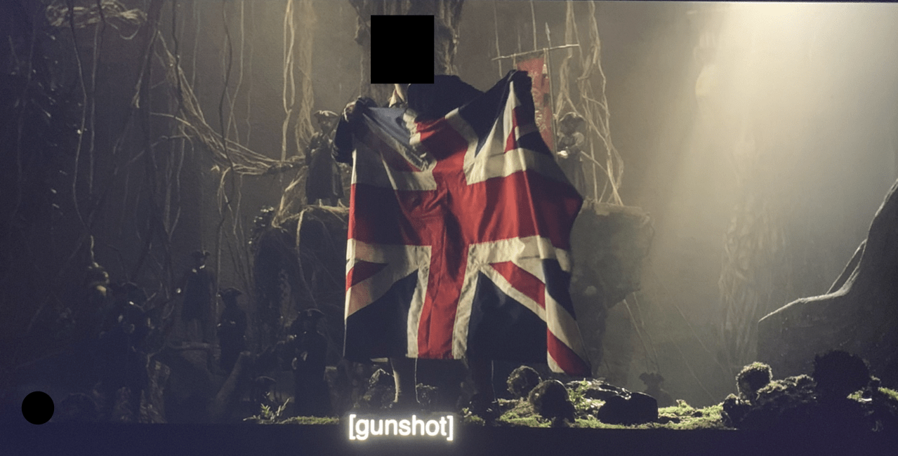
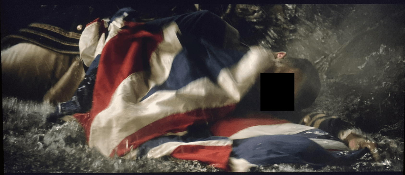
In another scene we see a man holding a British flag being shot by a Spanish soldier.
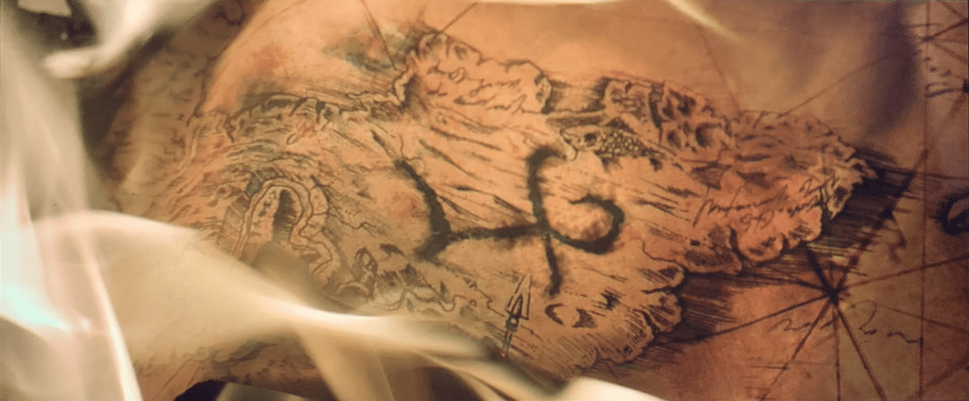
In this movie they are looking for the Trident of Poseidon using unconventional maps:
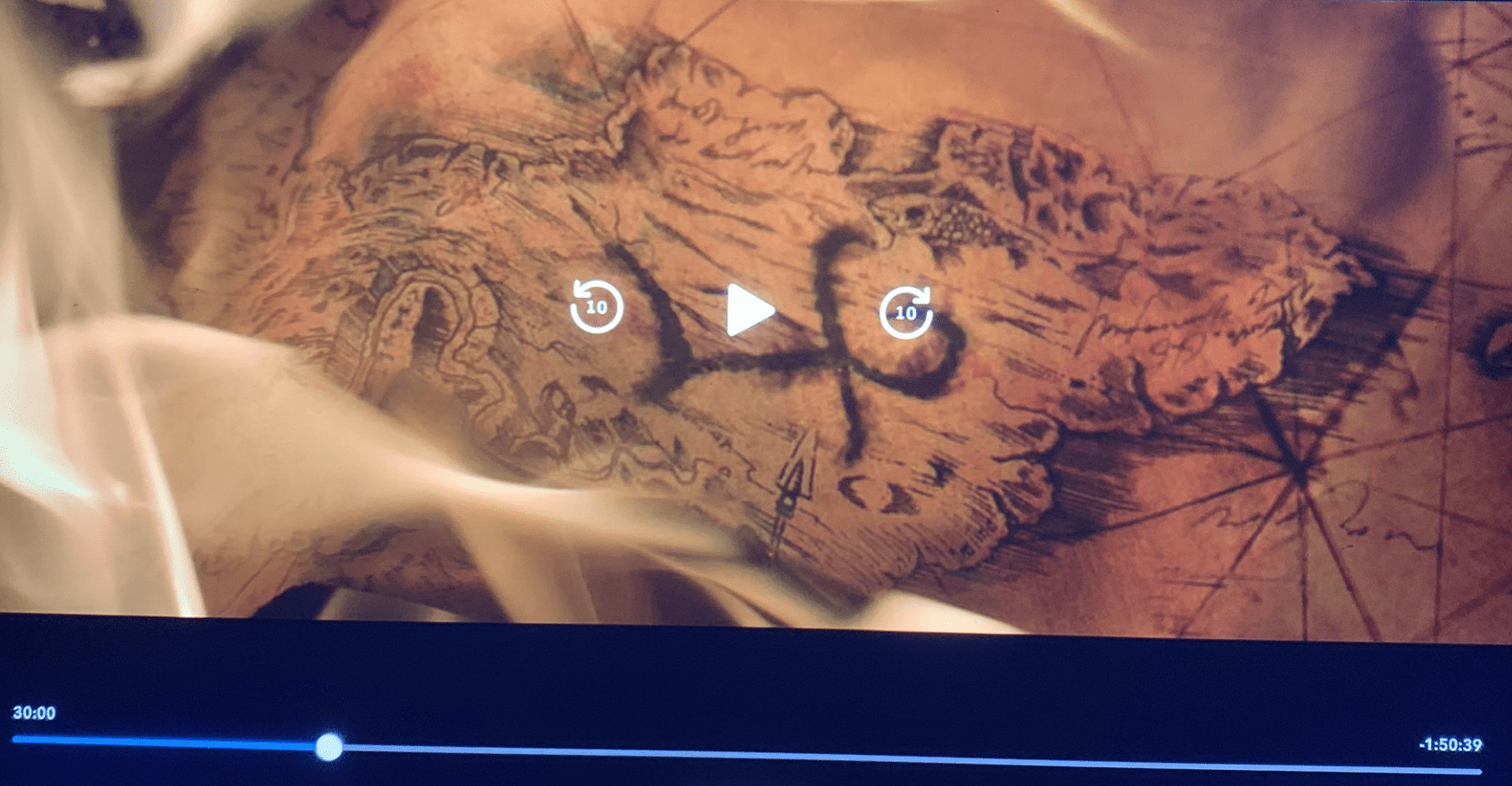
This symbol seen through the drop of water resembles a swastika:
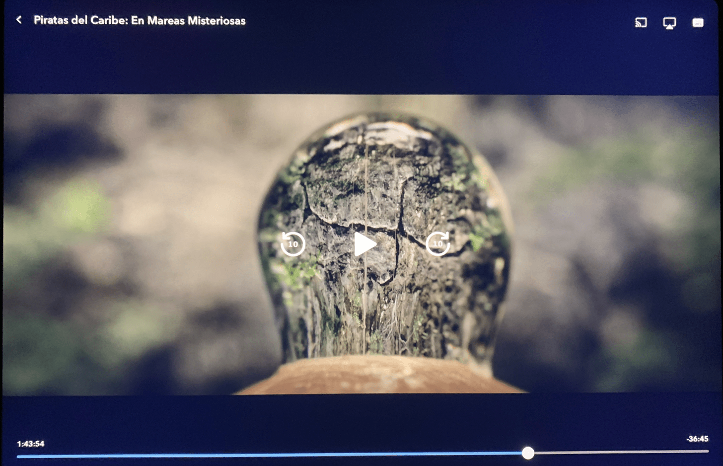
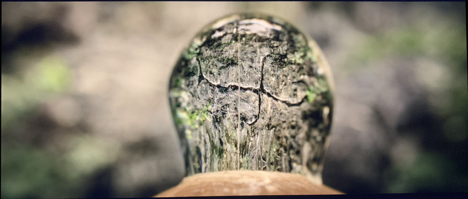
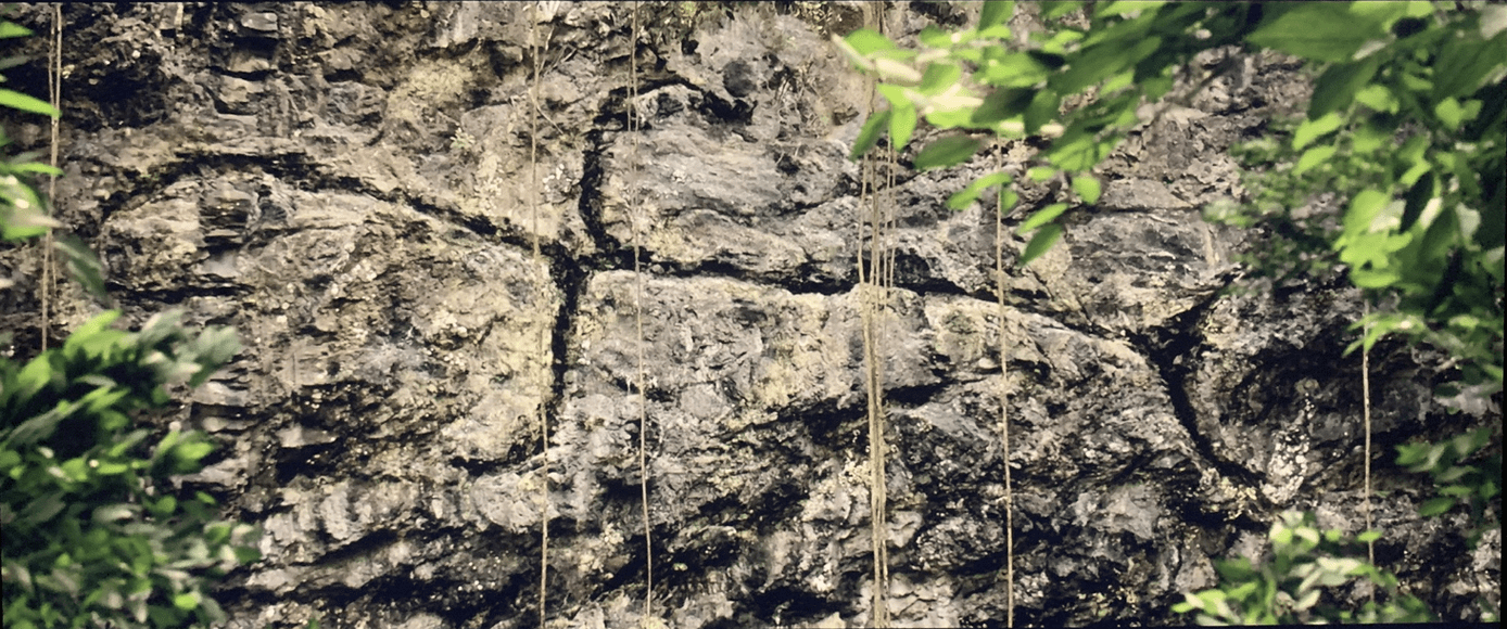
This trident could be a hint to a place north of Boston: the river delta area between the localities of Danvers, Salem and Beverly, in Massachusetts.
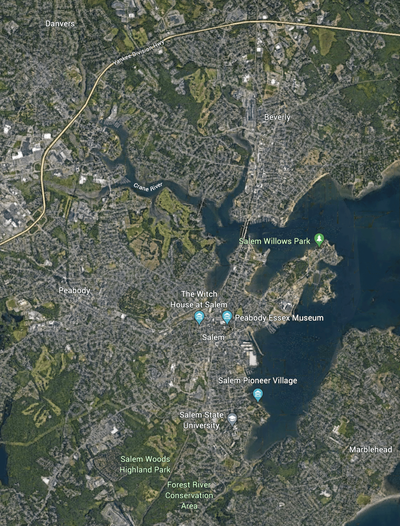
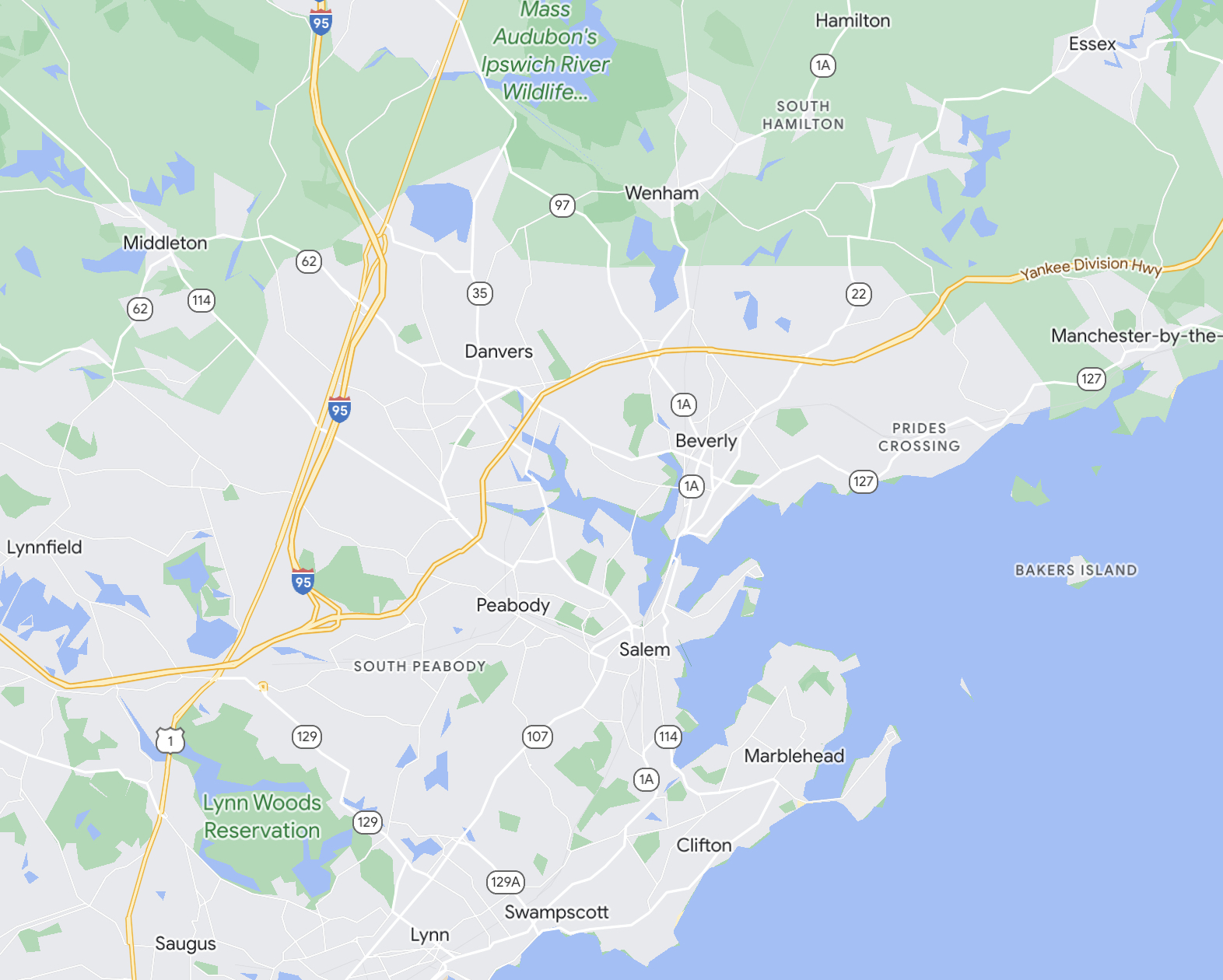
Summary diagram of all the above information:
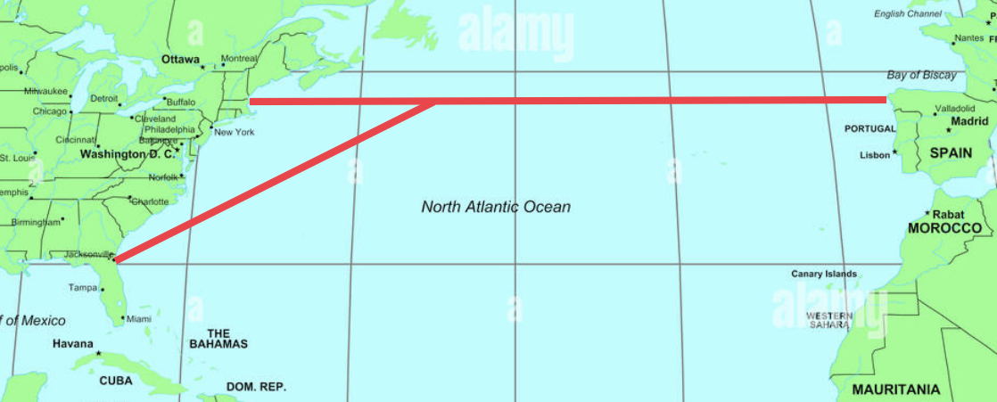
(The above image does not show the actual paths of the tunnels).
Finally, it’s worth mentioning that Elon Musk first talked about the hyperloop around 2012, very near the release date of Pirates of the Caribbean 4. So this Hyperloop seems to me a reference to the Axis secret submarine tunnels, although I don’t know if these tunnels use this technology or another one.
At the beginning there is a scene where the British King is talking about the Spanish King:


The following scene gives very important information to help us decipher this part of the puzzle:


The USS Whitecap was a ship from Boston that partook in the First World War.

The hull number SP-340 tells us that the information of the Spanish tunnels is hidden in the third and fourth installments of this film series.
Thus, we learn the location of the second tunnel’s end: the metropolitan area of Boston, Massachusetts.

These two cups sinking would symbolize the two submarine tunnels:


In another scene we see a man holding a British flag being shot by a Spanish soldier.


In this movie they are looking for the Trident of Poseidon using unconventional maps:


This symbol seen through the drop of water resembles a swastika:


This trident could be a hint to a place north of Boston: the river delta area between the localities of Danvers, Salem and Beverly, in Massachusetts.


Summary diagram of all the above information:

(The above image does not show the actual paths of the tunnels).
Finally, it’s worth mentioning that Elon Musk first talked about the hyperloop around 2012, very near the release date of Pirates of the Caribbean 4. So this Hyperloop seems to me a reference to the Axis secret submarine tunnels, although I don’t know if these tunnels use this technology or another one.
Important clarification: By submarine tunnels I mean tunnels excavated under the seabed.
Musk's is currently aiming his smallish drill, a few miles from where I set, toward Austin, Texas. His debris is hauled away in semi-trucks. In such
an undertaking you suggest, where is the money, motivation, equipment and time coming from and what the Hell are they doing with the dirt!
originally posted by: Observer19
Musk's is currently aiming his smallish drill, a few miles from where I set, toward Austin, Texas. His debris is hauled away in semi-trucks. In such an undertaking you suggest, where is the money, motivation, equipment and time coming from and what the Hell are they doing with the dirt!
Keep in mind that they most probably started building this tunnels (starting from the Spanish side) in 1939, at the end of the Spanish Civil War, or even earlier, since Galicia was one of the first Spanish regions to fall under Franco’s rule. And I don’t know how long it took, likely many decades, but I am sure these tunnels were finished years ago.
What is the motivation?
To launch a surprise attack within the United States, one of their two main enemies alongside the People’s Republic of China.
What they did with the dirt?
They fascist/islamist conspiracy controls Spain since April 1939, and it’s a big country with many sites where to dump the dirt. I suspect not all mountains that currently appear in maps of Spain were there in 1939.
Beware of Elon Musk, he is a member of the reactionary conspiracy. I suspect that his network of mini-satellites (currently 4,000) could be used by the Axis to somehow attack the allied nations.
Clarification 2: They are not building these tunnels at the present. These tunnels were started at the end of the Spanish Civil War, in 1939,
or even before. And I am sure they were finished years ago.
Just let me say any tunnel from Europe to the USA is impossible as about half way across there is a place where 2 tectonic plates collide and even if
you were superman you would not be able to do it. It falls within the realms of "dei Glocke" a fantasy.
An incredible amount of work in the OP for absolutely nothing. This is absolute tosh but might make a good book or maybe a movie.
Yes, I admire his perseverance. I had a different but similarly intensive project a few decades ago.
originally posted by: MarxistDebunker
originally posted by: Observer19
Musk's is currently aiming his smallish drill, a few miles from where I set, toward Austin, Texas. His debris is hauled away in semi-trucks. In such an undertaking you suggest, where is the money, motivation, equipment and time coming from and what the Hell are they doing with the dirt!
Keep in mind that they most probably started building this tunnels (starting from the Spanish side) in 1939, at the end of the Spanish Civil War, or even earlier, since Galicia was one of the first Spanish regions to fall under Franco’s rule. And I don’t know how long it took, likely many decades, but I am sure these tunnels were finished years ago.
They still have over 500 years to build the tunnels. They have not started yet. Marxist, you need to do a better job at research.
originally posted by: ARM1986
An incredible amount of work in the OP for absolutely nothing. This is absolute tosh but might make a good book or maybe a movie.
Oh, he is on to something for sure. He just has made a lot of mistakes. For one thing he has the time off by over 500 years. That will be confirmed tomorrow when 100 megaton nuclear bombs don't go off in multiple cities.
edit on 11-6-2023 by skeptical808 because: (no reason given)
Not going to buy into the literally physical tunnels unless they are natural and have always existed but, portals maybe?
But then portals would be inter dimensional and that is a little to hard to believe
Intriguing logic, not uncommon around here
But then portals would be inter dimensional and that is a little to hard to believe
Intriguing logic, not uncommon around here
Star and flag for the effort and for the originality.
Not judging either way ill go over it once I have a chance to get some good sleep.
Not judging either way ill go over it once I have a chance to get some good sleep.
a reply to: MarxistDebunker
You have a very vivid imagination, I’ll give you that. If the US government needs to be notified, I suggest that you should be the one to do it. Or have you already?
You have a very vivid imagination, I’ll give you that. If the US government needs to be notified, I suggest that you should be the one to do it. Or have you already?
Apart from the already mentioned Fruit Cove and Green Cove Springs, there are some more interesting places around this area:
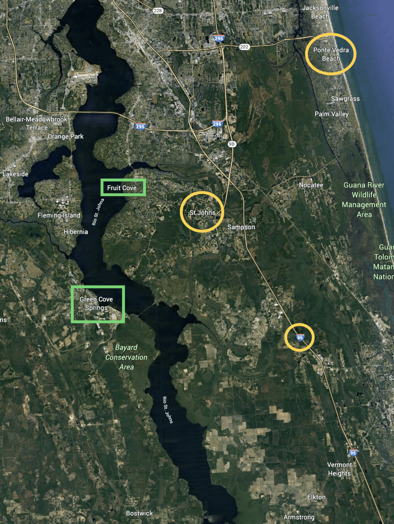
• The false time traveler John Titor’s name would be a hint to the locality of St. Johns. And both of them would be allusions to the Saint John’s Tower in Vatican City (I talked about this tower here), which in turn seems to be an allusion to John, the mysterious writer of the Book of Revelation/Apocalypse of Saint John, the last book of the Bible.
• The community of Ponte Vedra Beach is a reference to Pontevedra, Spain, which are three related places: The province of Pontevedra, the capital city of this province and the comarca (shire) where this city is located. The name Pontevedra etymologically comes from Latin (Pontem Veteram), meaning Puente Viejo (Old Bridge, in English), which is alluding to the first bridge built in this zone. And this etymology reminds me of the military term bridgehead.
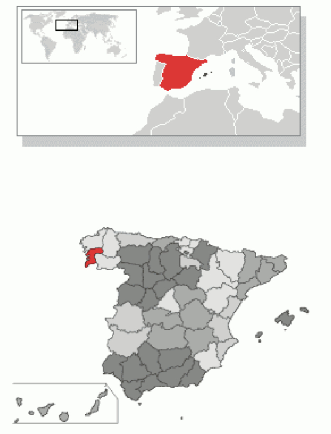
The province of Pontevedra within Spain:
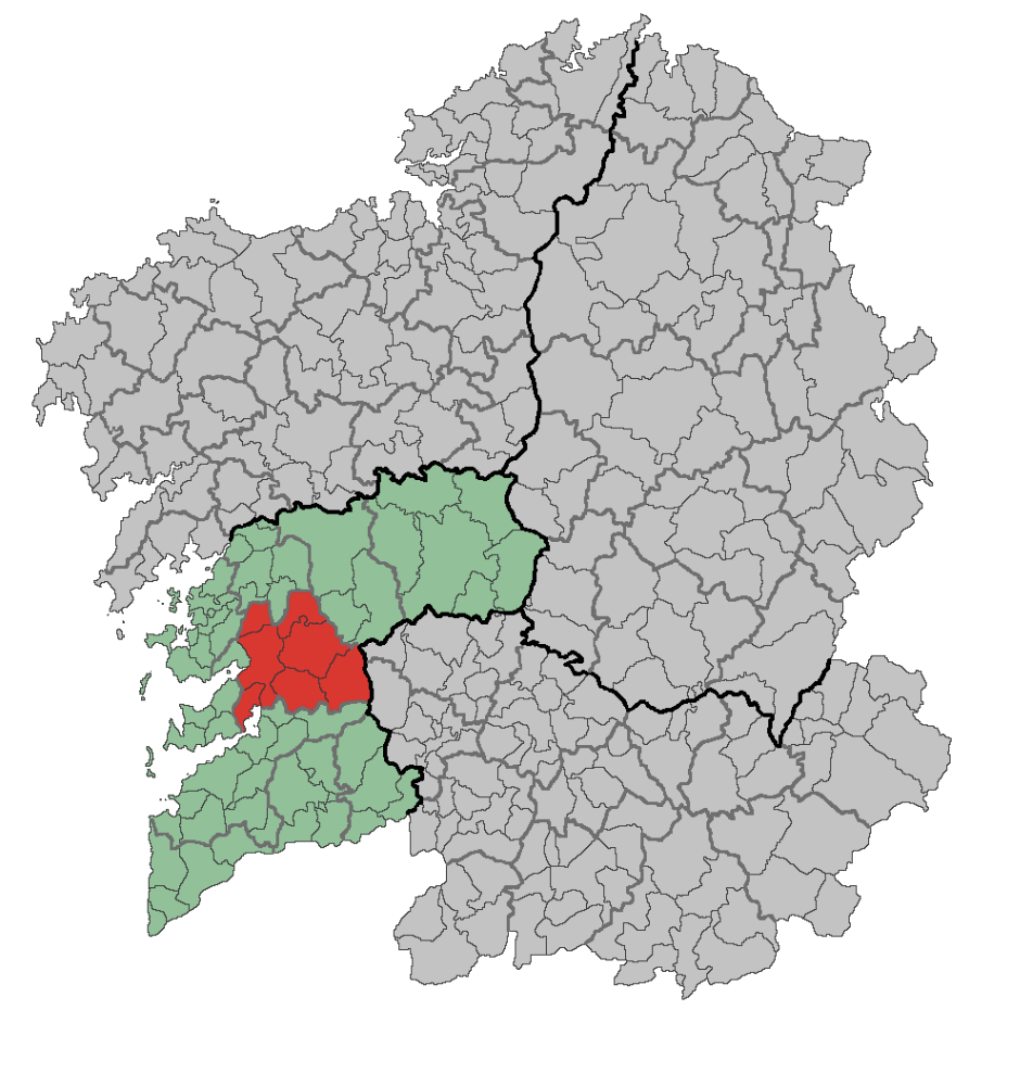
The comarca (shire) of Pontevedra highlighted in red:
• The U.S. highway Interstate 95 would be a reference to the conspiracy’s intended target of killing 95% of the current world population, a finding I first told in this thread.

• The false time traveler John Titor’s name would be a hint to the locality of St. Johns. And both of them would be allusions to the Saint John’s Tower in Vatican City (I talked about this tower here), which in turn seems to be an allusion to John, the mysterious writer of the Book of Revelation/Apocalypse of Saint John, the last book of the Bible.
• The community of Ponte Vedra Beach is a reference to Pontevedra, Spain, which are three related places: The province of Pontevedra, the capital city of this province and the comarca (shire) where this city is located. The name Pontevedra etymologically comes from Latin (Pontem Veteram), meaning Puente Viejo (Old Bridge, in English), which is alluding to the first bridge built in this zone. And this etymology reminds me of the military term bridgehead.
The province of Pontevedra within Spain:

The comarca (shire) of Pontevedra highlighted in red:

• The U.S. highway Interstate 95 would be a reference to the conspiracy’s intended target of killing 95% of the current world population, a finding I first told in this thread.
a reply to: Topcraft
I can’t communicate freely, I tried to contact the Chinese embassy in both Madrid and Paris many months ago without success, by telephone and through internet.
I haven’t left my parent’s home since the summer of 2020.
That’s why I am writing these threads here, with the hope that this information arrives somehow to the people able to successfully fight the Conspiracy: the U.S. Armed Forces, the Russian Armed Forces and the People’s Republic of China.
originally posted by: crayzeed
Just let me say any tunnel from Europe to the USA is impossible as about half way across there is a place where 2 tectonic plates collide and even if you were superman you would not be able to do it. It falls within the realms of "dei Glocke" a fantasy.
Good point, but let’s remember that the Soviet Union excavated a man-made hole that reached its maximum depth thirty-four years ago, in 1989, with 12.2 Km (7.6 mi). And, if I am right, the reactionary conspirators would have secret technologies many decades ahead of ours.
I enjoyed reading this piece of entertainment but to bring it back to Earth it must be mentioned that Jacksonville, FL is by far the LAST place an
invasion force would want to land. As someone who lived there for 35 years, nearly every resident carries and is armed to the teeth. Add in the huge
Navy presence and the dozens of bridges that could be taken out and it would be a logistical nightmare.
new topics
-
Simple Thanksgiving
Food and Cooking: 30 minutes ago -
Trump could make a peaceful American Revolution
US Political Madness: 3 hours ago -
Trump Presidential Transition Team will not use GSA or Government entities to come to DC
US Political Madness: 4 hours ago -
Mind Blowing Cave under someones land
Fragile Earth: 4 hours ago -
The Party of Peace - Trump Cabinet Picks Targeted with Death Threats
US Political Madness: 5 hours ago -
V.P. Kamala Harris releases a video and nobody understands why
US Political Madness: 8 hours ago
top topics
-
D.B. Cooper mystery may be solved
General Conspiracies: 13 hours ago, 21 flags -
V.P. Kamala Harris releases a video and nobody understands why
US Political Madness: 8 hours ago, 16 flags -
The Party of Peace - Trump Cabinet Picks Targeted with Death Threats
US Political Madness: 5 hours ago, 13 flags -
Mind Blowing Cave under someones land
Fragile Earth: 4 hours ago, 12 flags -
Trump Presidential Transition Team will not use GSA or Government entities to come to DC
US Political Madness: 4 hours ago, 12 flags -
Trump could make a peaceful American Revolution
US Political Madness: 3 hours ago, 10 flags -
Simple Thanksgiving
Food and Cooking: 30 minutes ago, 0 flags
active topics
-
Post A Funny (T&C Friendly) Pic Part IV: The LOL awakens!
General Chit Chat • 7837 • : Flyingclaydisk -
V.P. Kamala Harris releases a video and nobody understands why
US Political Madness • 61 • : Flyingclaydisk -
Simple Thanksgiving
Food and Cooking • 0 • : argentus -
Trump Presidential Transition Team will not use GSA or Government entities to come to DC
US Political Madness • 8 • : Flyingclaydisk -
The Acronym Game .. Pt.4
General Chit Chat • 995 • : JJproductions -
Trump could make a peaceful American Revolution
US Political Madness • 8 • : Flyingclaydisk -
Mind Blowing Cave under someones land
Fragile Earth • 14 • : Flyingclaydisk -
I thought Trump was the existential threat?
World War Three • 105 • : Xtrozero -
The Party of Peace - Trump Cabinet Picks Targeted with Death Threats
US Political Madness • 8 • : DontTreadOnMe -
President-Elect DONALD TRUMP's 2nd-Term Administration Takes Shape.
Political Ideology • 254 • : WeMustCare
