It looks like you're using an Ad Blocker.
Please white-list or disable AboveTopSecret.com in your ad-blocking tool.
Thank you.
Some features of ATS will be disabled while you continue to use an ad-blocker.
share:
(Warning, some of these photos are very high resolution and load slow on old connections)

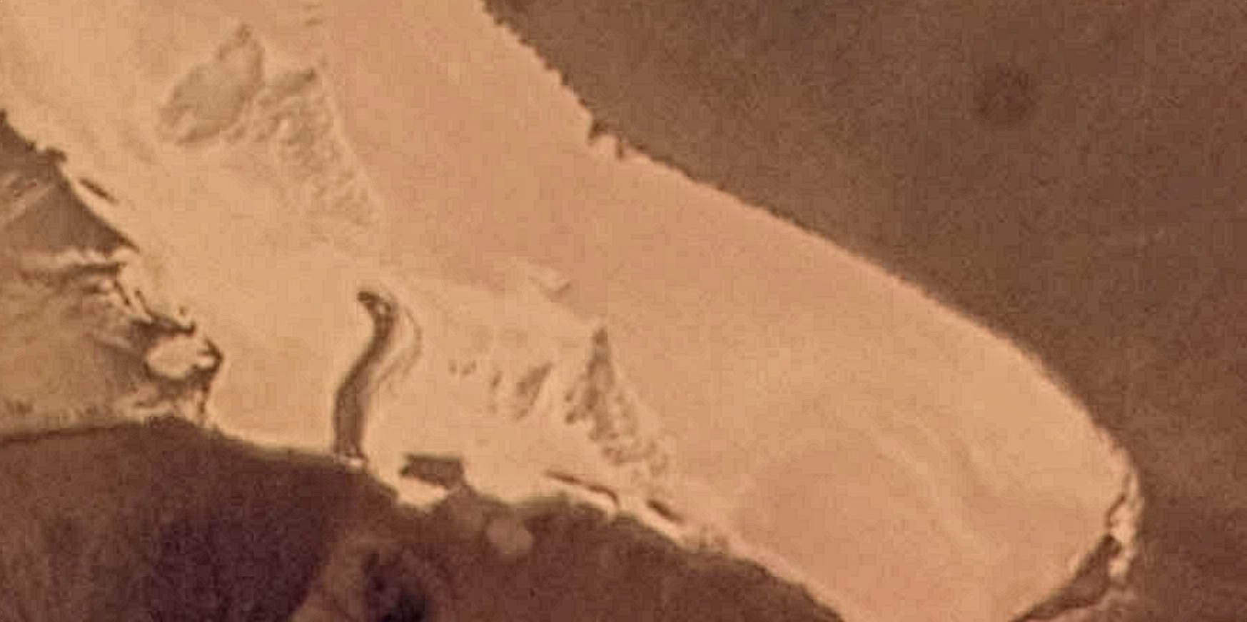
An edit of the NASA image, showing what is to me clearly some sort of structure in precisely the location pointed to by Lazar.
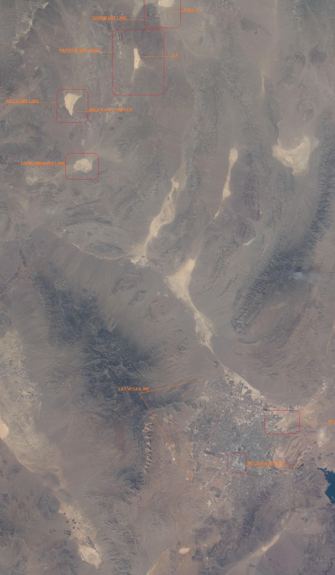
Nice shot of the Groom/NTS/Nellis Range complex. Nothing anomalous in this photo, just a nice overview of that area's geography
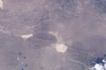
High quality shot of Groom with Papoose in the background.
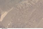
Take a look at the "teardrop" and suspected hangar area. Doesn't necessarily look at all like the other areas in the photo, and it even appears to have contrasting straight lines. Any photoshop magic that can be used here? To clean the picture up some
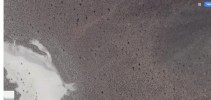
Lots of tracks in this area, zooms in pretty far too at decent quality
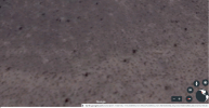
Unsure what to make of it, but plenty of straight lines and unusual looking areas directly where Lazar's coordinates point to. Thoughts?

An edit of the NASA image, showing what is to me clearly some sort of structure in precisely the location pointed to by Lazar.

Nice shot of the Groom/NTS/Nellis Range complex. Nothing anomalous in this photo, just a nice overview of that area's geography

High quality shot of Groom with Papoose in the background.

Take a look at the "teardrop" and suspected hangar area. Doesn't necessarily look at all like the other areas in the photo, and it even appears to have contrasting straight lines. Any photoshop magic that can be used here? To clean the picture up some

Lots of tracks in this area, zooms in pretty far too at decent quality


Unsure what to make of it, but plenty of straight lines and unusual looking areas directly where Lazar's coordinates point to. Thoughts?
edit
on 9/17/2019 by JBurns because: (no reason given)
OK! Whatever you say boss.
edit on 17-9-2019 by CharlesT because: (no reason given)
I'm not sure what we are looking at, or where we are supposed to focus on these images. Could you please mark them in some way and tell us what to
look for?
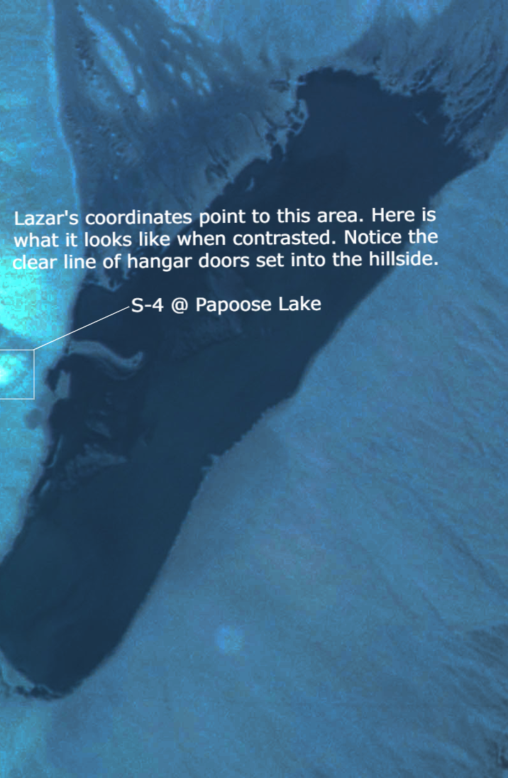
Hello friends, allow me to walk you through what I am convinced is the S-4 facility Bob Lazar described.
files.abovetopsecret.com...
In this image, I drew a box around the installation and adjusted contrast/brightness/etc. This is an image from one of the NASA satellites, unsure which one but I got it by typing in "JSC NASA satellite earth view" and geographically searching that region. The photos had to be "requested" which tells me they were not indexed and possibly yet unseen. The contrasted photo is from NASA's picture: files.abovetopsecret.com...
Look at the base of the jag marked inside the box. You will see what I believe are the hangar doors facing one of the two large circular-like areas just adjacent to the lake bed. This stands in stark contrast to the surrounding hills/jags.
I will go through each photo individually to prevent information from becoming cluttered
google maps
For anyone interested, this is the area in question to search at your own discretion. Some of the forced perspectives from OP's photos make some interesting features but Google's imagery is pretty sharp in this area and there just isn't anything there other than normal rock features similar to the surrounding area.
Was kinda curious given the, um, strangeness and lack of information of OPs post but alas, desert.
edit on 17-9-2019 by CalibratedZeus because:
link broken
a reply to: CharlesT
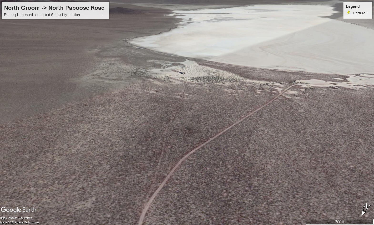
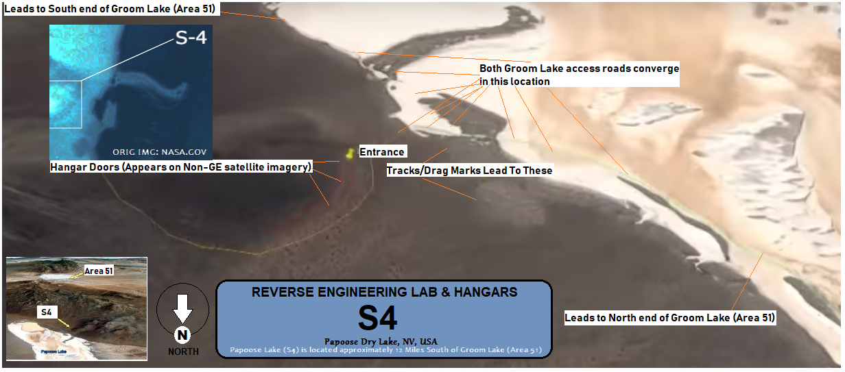
You mean like the unmarked tracks splitting off from the North access road directly toward S-4?
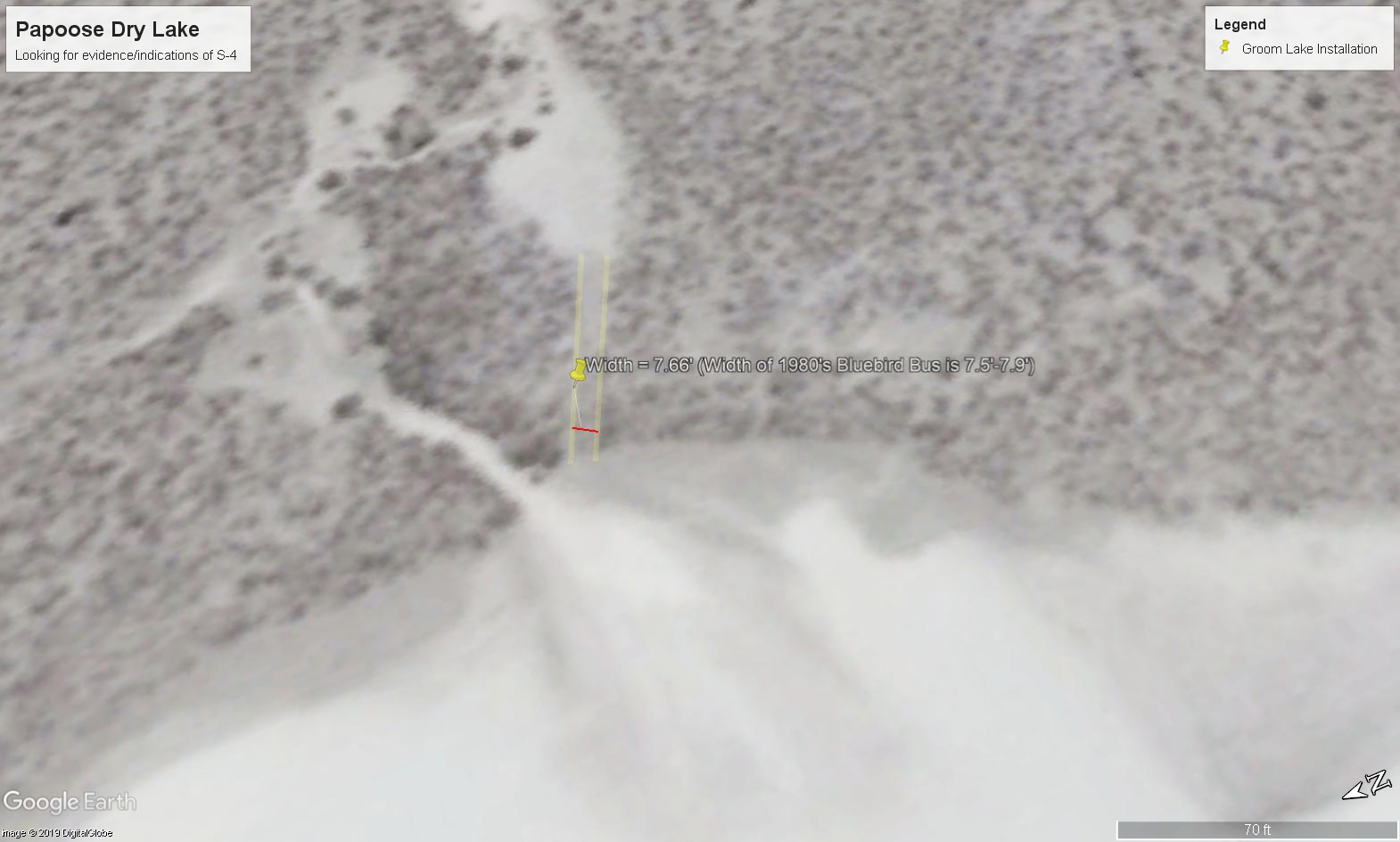
Or the dozen+ tracks made around the installation? I have poor vision and can make them out just fine. Even did a measurement confirming their width is consistent with a Blue Bird school bus
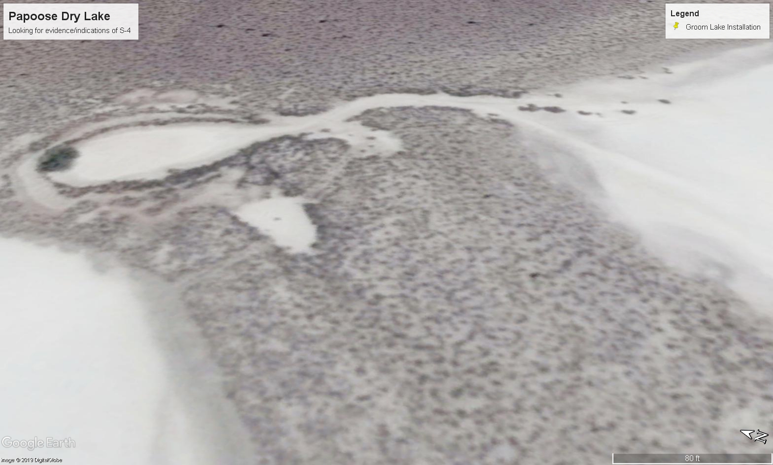
Or the countless examples of those "naturally occurring" geometric shapes & straight lines that generally do not occur in nature (and certainly not so many times in just one place)
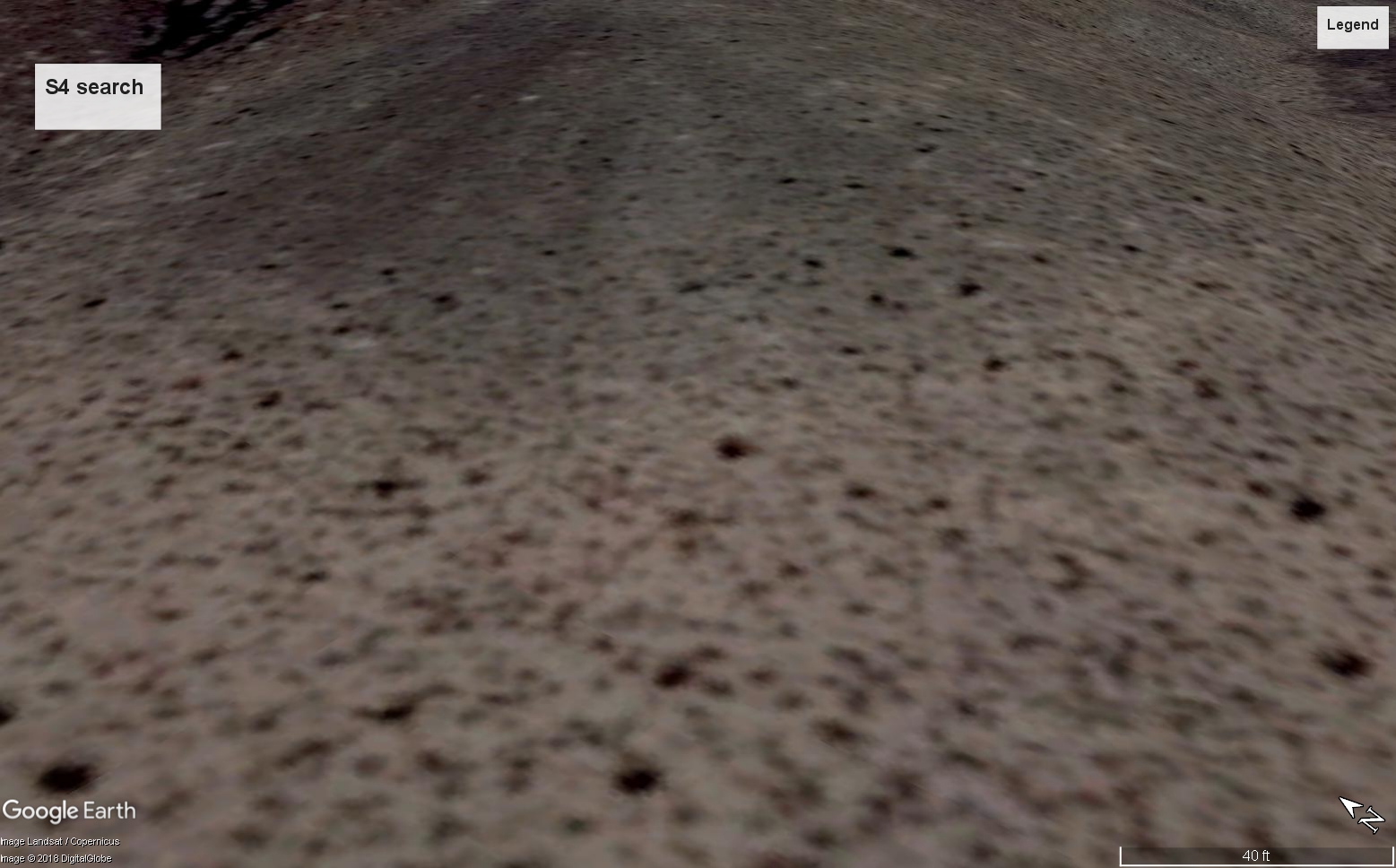
Or when Google shills do things like this. There is imagery before and after this date.
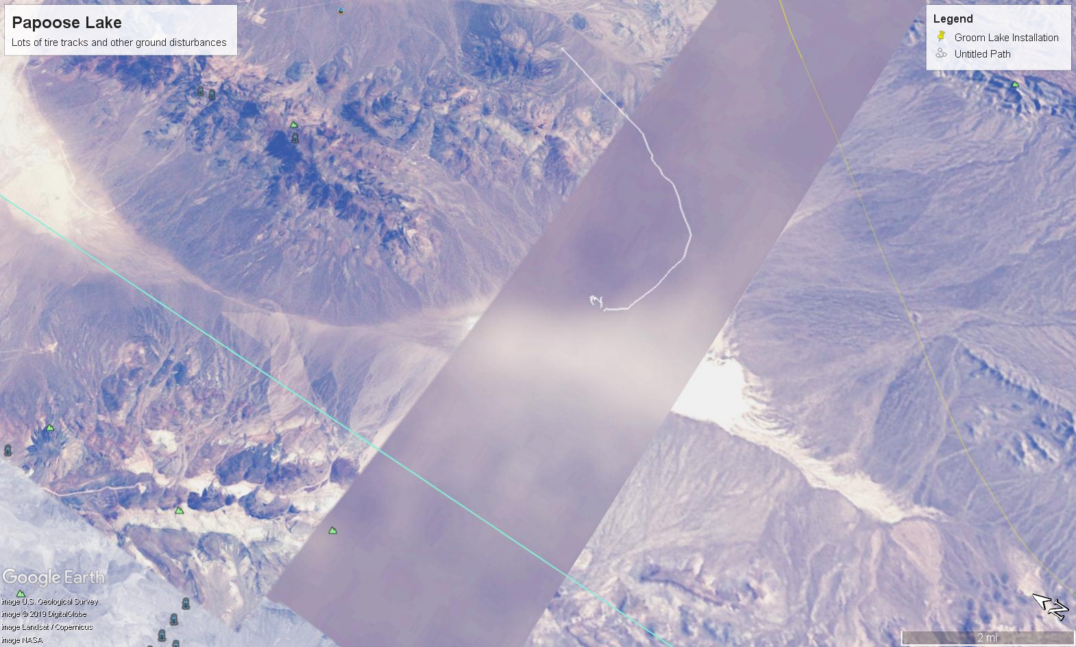
And of course, the one that matters...

No red herrings, please. Any individual here can reproduce the image above and a concerted look at that area will show anomalies with tracks leading to and around those anomalies.
You mean like the unmarked tracks splitting off from the North access road directly toward S-4?

Or the dozen+ tracks made around the installation? I have poor vision and can make them out just fine. Even did a measurement confirming their width is consistent with a Blue Bird school bus


Or the countless examples of those "naturally occurring" geometric shapes & straight lines that generally do not occur in nature (and certainly not so many times in just one place)

Or when Google shills do things like this. There is imagery before and after this date.

And of course, the one that matters...

No red herrings, please. Any individual here can reproduce the image above and a concerted look at that area will show anomalies with tracks leading to and around those anomalies.
edit on 9/17/2019 by JBurns because: (no reason given)
a reply to: CalibratedZeus
eol.jsc.nasa.gov...

That didn't come from Google Earth.
Came directly from NASA's JSC. The image wasn't even indexed on their website until I used an automated means to request it. It is quite possible the image (still available on NASA.gov domain) is just now being seen for the first time.
Someone care to confirm this via Google image search or elsewise?
eol.jsc.nasa.gov...

That didn't come from Google Earth.
Came directly from NASA's JSC. The image wasn't even indexed on their website until I used an automated means to request it. It is quite possible the image (still available on NASA.gov domain) is just now being seen for the first time.
Someone care to confirm this via Google image search or elsewise?
edit on 9/17/2019 by JBurns because: (no reason given)
originally posted by: CalibratedZeus
google maps
For anyone interested, this is the area in question to search at your own discretion. Some of the forced perspectives from OP's photos make some interesting features but Google's imagery is pretty sharp in this area and there just isn't anything there other than normal rock features similar to the surrounding area.
Was kinda curious given the, um, strangeness and lack of information of OPs post but alas, desert.
Looking closely, there is a distinct road leading form Area 51 to this particular teardrop shape on Papoose Lake. So, there must be something there for a distinct road to exist in this desert location.
Looks like the my contrast image is based on a photo that doesn't exist on the web outside the NASA.gov domain
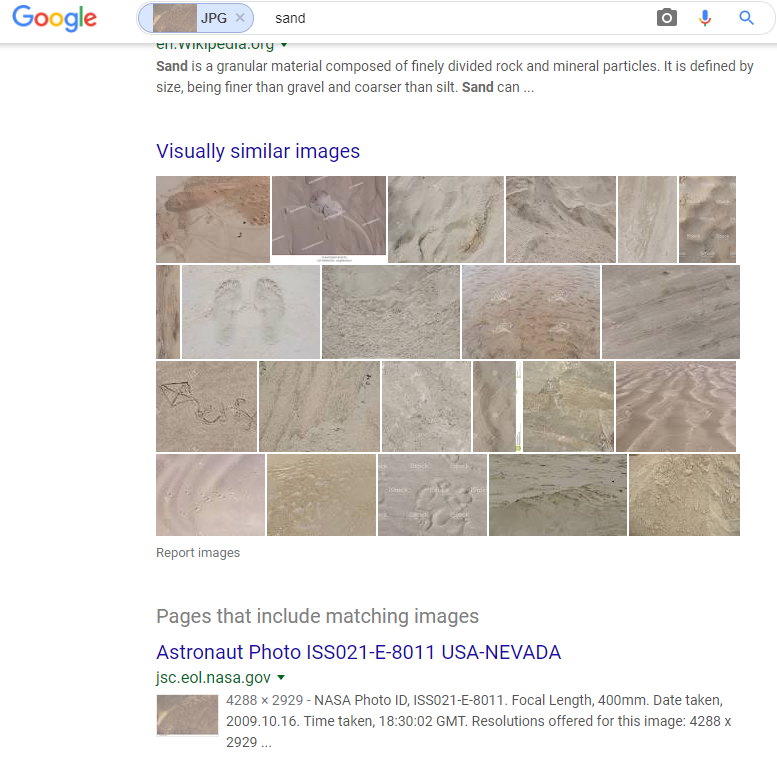
Here are the zoomed in versions of the contrasted image I made from the NASA image in question

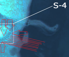
No other part of the Papoose area/range show this anomaly. Don't take my word for it, zoom the image, play with the contrast/colors, see what you can find. Looks like a facility to me

Here are the zoomed in versions of the contrasted image I made from the NASA image in question


No other part of the Papoose area/range show this anomaly. Don't take my word for it, zoom the image, play with the contrast/colors, see what you can find. Looks like a facility to me
edit on 9/17/2019 by JBurns because: (no reason given)
edit on 9/17/2019 by JBurns because:
(no reason given)
a reply to: MissSmartypants
Thank you!
I believe Bob Lazar as well
I have no doubt that at one point (possibly even still) no less than 9 ETV's were housed in the NV desert at Papoose Dry Lake
This is the closest I've ever come to tangible evidence. There is no logical explanation for these shapes to appear in the precise location Lazar pointed to, nor is there any logical reason (outside of a facility) for their to be roads and tracks leading to these anomalies
I am working diligently to get these NASA.gov photos indexed to prove they are legitimately sourced. I don't want them erasing the evidence like they did that time we exposed the White House bunker using Truman library photos (which have since disappeared)
www.abovetopsecret.com...
www.trumanlibrary.gov...
www.trumanlibrary.gov...
files.abovetopsecret.com... ^Photo they scrubbed off the net
"Page not found"
Happened a few months after I posted that thread in RATS... so believe it folks, the Gov does censor these things in cooperation with their own agencies and private corps. ATS thankfully didn't censor it though, the thread is still available here and so are my ATS uploads/personal backups. But the Truman library itself has scrubbed any reference to the photo and apparently they weren't archived by archive.org. And anyone who thinks this public imagery isn't useful for finding hidden FACS should get the details straight, open source intelligence is used in 80%+ of intelligence community work
Please download or archive this before it disappears
eol.jsc.nasa.gov...
edit on 9/18/2019 by JBurns because: (no reason given)
source 1: www.abovetopsecret.com... - The Navy Says Those UFO Videos Are Real
source 2: www.popularmechanics.com... - ""
youtu.be... - Same video, indexed to "Gimbal".. video starts at 3:32
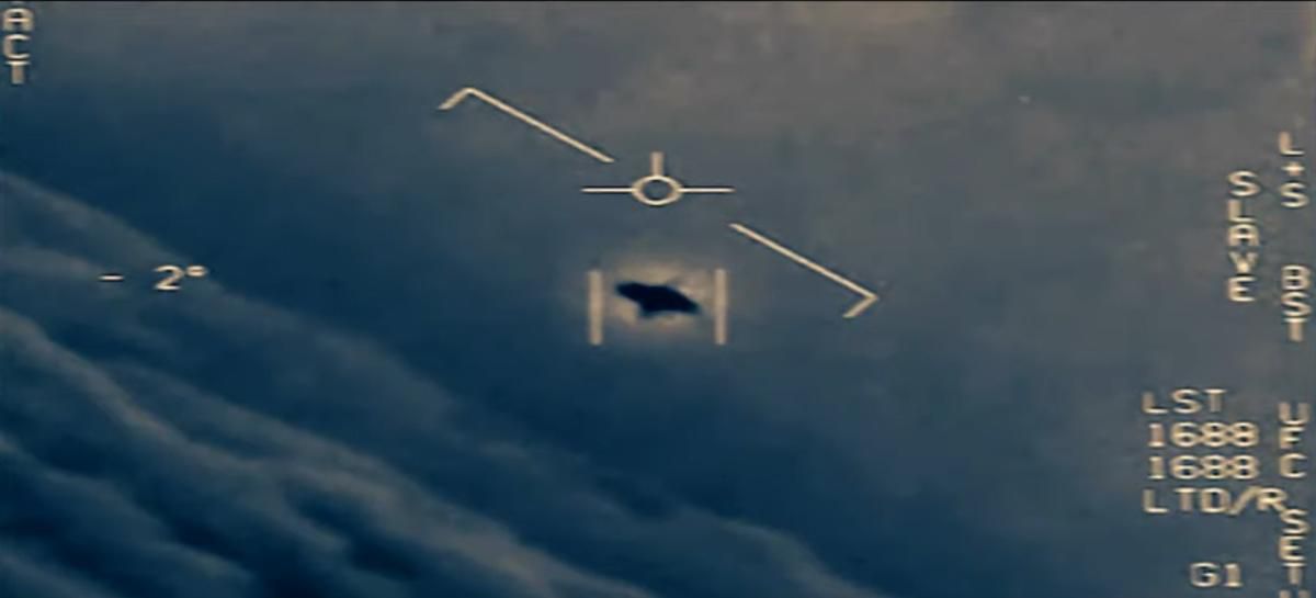
This is the UAP seen in the Gimbal video, the same video authenticated by the Navy. It operates the same way Lazar described, including the description of the "belly first" flight, extremely low temperature around the craft and so on.
I would be interested to see standard physics as known today describe this craft and how it does what it does. The other videos are equally interesting, but the resemblance to Lazar's information is uncanny.
Has anyone other than Lazar described "belly first" flight characteristics? That was always a part that stood out to me as unique. He simply has known too many details that turned out to be factual or otherwise proven since his claims, which were made at a time Area 51 was not well known outside very specific circles and when the Internet was in its infancy. I don't recall, but I remember high resolution satellite imagery was a tool reserved only for government and big dollar companies.
In my opinion Bob is telling the truth. I will go with the experienced polygraph examiner who, along with several other of his colleagues, evaluated Lazar and determined No Deception Indicated as the result. It is actually not 100% accurate to say a polygraph is inadmissible as evidence in a court of law. In fact, it is only generally inadmissible when an individual scores Deception Indicated on the test. Frequently, when subjects pass a polygraph exam, it is entered into evidence. When the individual is a subject in an investigation and voluntarily takes/subsequently passes a polygraph and especially more than one, the investigative inquiry into that person is going to die down quick if not outright end unless there is something concrete. So marginalizing his polygraph examinations is in my opinion another red herring
source 2: www.popularmechanics.com... - ""
youtu.be... - Same video, indexed to "Gimbal".. video starts at 3:32

This is the UAP seen in the Gimbal video, the same video authenticated by the Navy. It operates the same way Lazar described, including the description of the "belly first" flight, extremely low temperature around the craft and so on.
I would be interested to see standard physics as known today describe this craft and how it does what it does. The other videos are equally interesting, but the resemblance to Lazar's information is uncanny.
Has anyone other than Lazar described "belly first" flight characteristics? That was always a part that stood out to me as unique. He simply has known too many details that turned out to be factual or otherwise proven since his claims, which were made at a time Area 51 was not well known outside very specific circles and when the Internet was in its infancy. I don't recall, but I remember high resolution satellite imagery was a tool reserved only for government and big dollar companies.
In my opinion Bob is telling the truth. I will go with the experienced polygraph examiner who, along with several other of his colleagues, evaluated Lazar and determined No Deception Indicated as the result. It is actually not 100% accurate to say a polygraph is inadmissible as evidence in a court of law. In fact, it is only generally inadmissible when an individual scores Deception Indicated on the test. Frequently, when subjects pass a polygraph exam, it is entered into evidence. When the individual is a subject in an investigation and voluntarily takes/subsequently passes a polygraph and especially more than one, the investigative inquiry into that person is going to die down quick if not outright end unless there is something concrete. So marginalizing his polygraph examinations is in my opinion another red herring
edit on 9/18/2019 by JBurns because: (no
reason given)
a reply to: CalibratedZeus

Full size
Thanks for posting this CS
I would retort with the following question: Why is it that both access roads from Groom lake converge on the hillside showing anomalies? This location is exactly where Lazar pointed out as being S4.


Full size
Thanks for posting this CS
I would retort with the following question: Why is it that both access roads from Groom lake converge on the hillside showing anomalies? This location is exactly where Lazar pointed out as being S4.
edit on 9/20/2019 by JBurns because: (no reason given)
new topics
-
Does the Trump win mean No More Taylor Swift??
2024 Elections: 1 hours ago -
Trump-appointed judge blocks Biden administration overtime rule
Social Issues and Civil Unrest: 3 hours ago -
Don't cry do Cryo instead
General Chit Chat: 8 hours ago -
Tariffs all around, Except for ...
Dreams & Predictions: 10 hours ago
top topics
-
Gen Flynn's Sister and her cohort blow the whistle on DHS/CBP involvement in child trafficking.
Whistle Blowers and Leaked Documents: 14 hours ago, 8 flags -
Don't cry do Cryo instead
General Chit Chat: 8 hours ago, 8 flags -
Tariffs all around, Except for ...
Dreams & Predictions: 10 hours ago, 5 flags -
Does the Trump win mean No More Taylor Swift??
2024 Elections: 1 hours ago, 5 flags -
Anybody else using Pomodoro time management technique?
General Chit Chat: 17 hours ago, 4 flags -
Trump-appointed judge blocks Biden administration overtime rule
Social Issues and Civil Unrest: 3 hours ago, 4 flags
active topics
-
Don't cry do Cryo instead
General Chit Chat • 6 • : underpass61 -
Does the Trump win mean No More Taylor Swift??
2024 Elections • 5 • : watchitburn -
Tariffs all around, Except for ...
Dreams & Predictions • 15 • : worldstarcountry -
Trump-appointed judge blocks Biden administration overtime rule
Social Issues and Civil Unrest • 2 • : Dandandat3 -
Trump sues media outlets -- 10 Billion Dollar lawsuit
US Political Madness • 45 • : Oldcarpy2 -
Anybody else using Pomodoro time management technique?
General Chit Chat • 10 • : mysterioustranger -
Mike Tyson returns 11-15-24
World Sports • 56 • : Flyingclaydisk -
WATCH LIVE: US Congress hearing on UFOs, unidentified anomalous phenomena
Aliens and UFOs • 87 • : Lazy88 -
How can you defend yourself when the police will not tell you what you did?
Posse Comitatus • 86 • : ADVISOR -
The Acronym Game .. Pt.4
General Chit Chat • 963 • : JJproductions

