It looks like you're using an Ad Blocker.
Please white-list or disable AboveTopSecret.com in your ad-blocking tool.
Thank you.
Some features of ATS will be disabled while you continue to use an ad-blocker.
5
share:
hey as ^`this week = national map reading week
an initative from the ordnance survey [ OS ]`the UKs national cartographic agency
start page
the start page contains links and tutorials aimed at all but expert navigators
enjoy
yes - it is a british site using the UK std maps - but the principles are universal and the 2 common UK map scales 1: 25k anf 1:50k are also widley used around the world
a reply to: ignorant_ape
Y'know, that's something I've never given much thought to... How many folks, younger than I, actually know how to read a real map, these days???
I've been able to for nearly as long as I can remember, so I suppose I thought everyone can.
Good idea to bring it up!!
Y'know, that's something I've never given much thought to... How many folks, younger than I, actually know how to read a real map, these days???
I've been able to for nearly as long as I can remember, so I suppose I thought everyone can.
Good idea to bring it up!!
a reply to: ignorant_ape
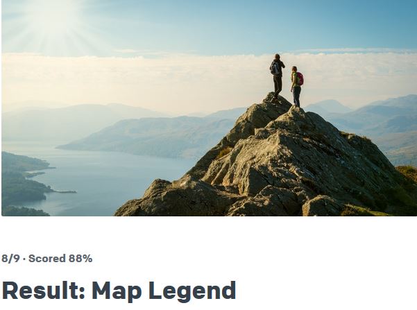
Hey, that's Ullswater in their illustration. Been there. Walked that.
Walkers of the world, unite. Look at a map and make your own decisions about where to go next. You have nothing to lose but your SatNav chains.
Hey, that's Ullswater in their illustration. Been there. Walked that.
Walkers of the world, unite. Look at a map and make your own decisions about where to go next. You have nothing to lose but your SatNav chains.
edit on 18-10-2017 by DISRAELI because: (no reason given)
I love maps. I especially love OS maps. I am an avid walker and even though I have used GPS maps and more recently OS Maps on my smartphone, I
always revert to a paper map for the serious hikes. Some of my oldest maps go back 35 years and I can still see the landscape in the contours.
I pity the young who will never know the the pleasure of working things out.
I pity the young who will never know the the pleasure of working things out.
Geology maps are my favorite. Not only are they brightly coloured but they have cool names like Peaty Podzols
Geological formation eras - going back millions of years
www.townmillarts.co.uk...
Soil map:
www.ukso.org...
Geology map world
www.unavco.org...
Then there are animated map of the wind across the globe
earth.nullschool.net...
Geological formation eras - going back millions of years
www.townmillarts.co.uk...
Soil map:
www.ukso.org...
Geology map world
www.unavco.org...
Then there are animated map of the wind across the globe
earth.nullschool.net...
In America are there 4 rules concerning contours ?
Over here in the UK we get them drummed into our heads like 'The Closer the contours, the steeper the slope'.
Hence the contour question was answered thanks to reading that rule, parrot fashion, decades ago.
Over here in the UK we get them drummed into our heads like 'The Closer the contours, the steeper the slope'.
Hence the contour question was answered thanks to reading that rule, parrot fashion, decades ago.
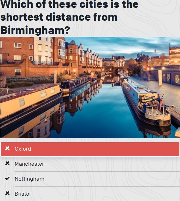
Kinda biased how in the world would I know this given this pic?

Still it was fun and good to know my Boy Scout skills are still valid!


Still it was fun and good to know my Boy Scout skills are still valid!

a reply to: stormcell
android has an app for that
play store link
its not a google app - so should be availiable on itues and other outlets too
android has an app for that
play store link
its not a google app - so should be availiable on itues and other outlets too
originally posted by: ignorant_ape
a reply to: DISRAELI
ullswater is one my " top 10 places " list - i has swum across it [ coward found the shortest possible route ] - kayaked it end to end and back - walked and MTBed the perimeter - and dived it
did i mention - i love ullswater ?
You dived it ? What was the dive like .. I really need to get back into scuba diving
Edit: I've been to Ullswater too, loved the place
edit on 19-10-2017 by ThePeaceMaker because: (no reason given)
new topics
-
There Must Be Something to Hide!
Political Conspiracies: 17 minutes ago -
Your Opinion ... 2nd assassination attempt ... the shooter was a ... ????
Political Conspiracies: 3 hours ago -
tweeting nasty words worse than child porn according to judges and the Labour party
Mainstream News: 6 hours ago -
The Why Files does Alien Implants
Aliens and UFOs: 7 hours ago -
Democrats Oversee Big Surge In Cop Murder
Social Issues and Civil Unrest: 8 hours ago -
The "Hundredth Monkey" Effect and the Modern Western "Agenda"
New World Order: 8 hours ago -
Sen. Johnson Asks the CDC How Many Americans Were Killed by COVID Shots
Science & Technology: 10 hours ago
top topics
-
Sen. Johnson Asks the CDC How Many Americans Were Killed by COVID Shots
Science & Technology: 10 hours ago, 26 flags -
tweeting nasty words worse than child porn according to judges and the Labour party
Mainstream News: 6 hours ago, 16 flags -
Democrats Oversee Big Surge In Cop Murder
Social Issues and Civil Unrest: 8 hours ago, 13 flags -
Your Opinion ... 2nd assassination attempt ... the shooter was a ... ????
Political Conspiracies: 3 hours ago, 9 flags -
Gender identity
Rant: 17 hours ago, 9 flags -
The Why Files does Alien Implants
Aliens and UFOs: 7 hours ago, 8 flags -
I just looked around and he's gone
Music: 13 hours ago, 7 flags -
There Must Be Something to Hide!
Political Conspiracies: 17 minutes ago, 5 flags -
The "Hundredth Monkey" Effect and the Modern Western "Agenda"
New World Order: 8 hours ago, 4 flags -
1 and 2 Kings
Religion, Faith, And Theology: 17 hours ago, 0 flags
active topics
-
Jane's Addiction - Perry Farrell gets aggresive with Dave Navarro
Music • 12 • : FlyersFan -
Your Opinion ... 2nd assassination attempt ... the shooter was a ... ????
Political Conspiracies • 46 • : tamusan -
There Must Be Something to Hide!
Political Conspiracies • 2 • : FlyersFan -
Okay...This was Weird!
The Gray Area • 38 • : ianmoone3 -
Pope Francis Wisely Affirms All Religions Are Valid Pathways for Reaching GOD.
Conspiracies in Religions • 45 • : Arbitrageur -
-@TH3WH17ERABB17- -Q- ---TIME TO SHOW THE WORLD--- -Part- --44--
Dissecting Disinformation • 2610 • : watchitburn -
Sen. Johnson Asks the CDC How Many Americans Were Killed by COVID Shots
Science & Technology • 35 • : UpIsNowDown2 -
Russia Ukraine Update Thread - part 3
World War Three • 6570 • : Oldcarpy2 -
Another attempt on Trump?
2024 Elections • 376 • : NorthOS -
Gender identity
Rant • 17 • : matafuchs
5
