It looks like you're using an Ad Blocker.
Please white-list or disable AboveTopSecret.com in your ad-blocking tool.
Thank you.
Some features of ATS will be disabled while you continue to use an ad-blocker.
14
share:
I know there have been a number of discoveries over the last fifty years. This one looks quite significant. A great example of how invaluable the
current mapping technology is.
Cambridge.org
CNN


Cambridge.org
CNN
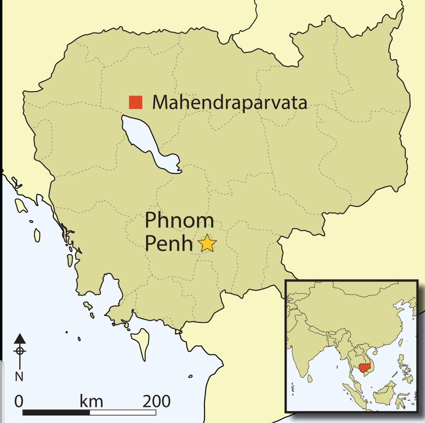
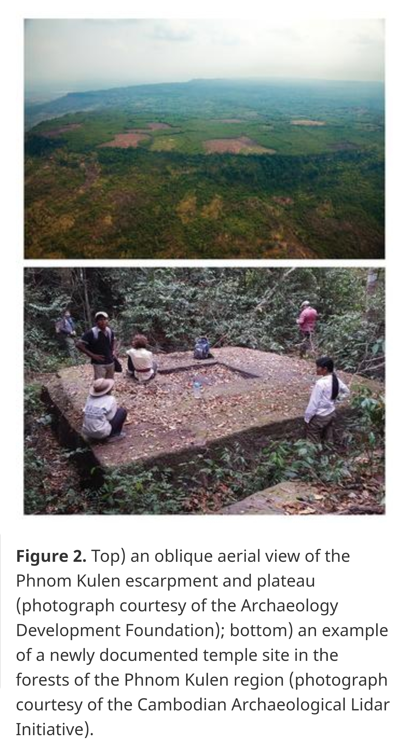
The 1960s saw renewed interest in the region. Hansen (1969) and Boulbet (Boulbet & Dagens 1973; Boulbet 1979) added various elements to Stern's archaeological map, in particular water-control structures, dykes and other linear features, without necessarily adding support to the notion of an urban network. Aerial mapping campaigns of the Angkor region throughout the 1990s extended northward to the mountains, but with limited success. While radar imaging provided additional detail around the base of the mountain range, the dense foliage could not be penetrated, and Phnom Kulen remained a lacuna on archaeological maps (Evans et al. 2007).


So a lost temple not a city
Slight difference between a temple and a city
Wouldn’t be surprised what they could find in that dense jungle
Dinosaurs on the wall carved in by people who should never have seen a dinosaur or know what they looked like
Edit
Yes seems a city, swallowed by the jungle, only 500 years ago, so recent
Slight difference between a temple and a city
Wouldn’t be surprised what they could find in that dense jungle
Dinosaurs on the wall carved in by people who should never have seen a dinosaur or know what they looked like
Edit
Yes seems a city, swallowed by the jungle, only 500 years ago, so recent
edit on 22-10-2019 by Raggedyman because: (no reason given)
new topics
-
Azerbaijan E190 Passenger Jet Shot Down by Russia
Mainstream News: 1 hours ago -
Orange County Makes Shoplifting a Felony
Other Current Events: 5 hours ago -
It's Offical Now
US Political Madness: 7 hours ago -
The reason it works is.....
General Chit Chat: 8 hours ago -
Dick Van Dyke saved from Wildfire by neighbours on his 99th birthday
People: 11 hours ago
14
