It looks like you're using an Ad Blocker.
Please white-list or disable AboveTopSecret.com in your ad-blocking tool.
Thank you.
Some features of ATS will be disabled while you continue to use an ad-blocker.
6
share:
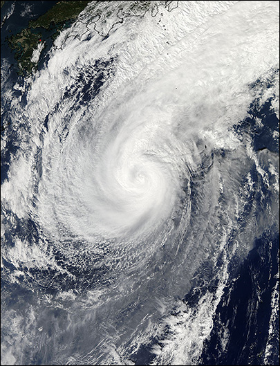
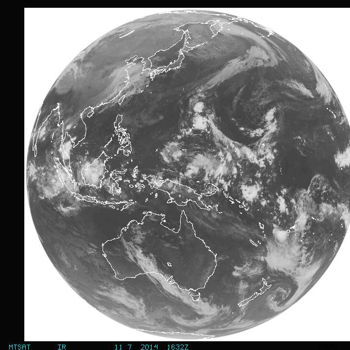
Remnants of tropical super storm Nuri gaining strengh in center of Pacific Ocean.

Related links:
News Link above
KATU TV News

It has not entered the typical NOAA sectors, but when it does usae these links:
NOAA GOES West Region

The only thing in doubt is are Huge Wave Surfers in route to ride 50 footers.

Starting tomorrow... the Bering Sea will feel the brunt of the strongest storm to hit the region in possibly decades. It might even be a record breaker.
You've probably heard the news, this storm could break the 1977 record for the lowest atmospheric pressure recorded in Alaska, which was 925 mb measured in Dutch Harbor. It will be close. But of greater importance is where the impacts of this storm will and will NOT be felt.
The Western and Central Aleutians and Bering Sea are in the crosshairs of strong wind and very high seas. This storm will undoubtedly impact maritime traffic.
Further east the wind and waves will NOT be as strong but we’re still concerned about some vulnerabilities - namely, the Pribilof Islands. Starting Saturday, a prolonged southwest fetch with seas around 25 feet could cause problems for the St. Paul Harbor.
The storm is forecast to stall and weaken in the central Bering Sea, sparing the western coast of mainland Alaska from a big coastal flood event. We’re still looking for some higher-than-normal water near the Y-K Delta and Bristol Bay, but impacts should be minor.
Related links:
News Link above
KATU TV News

It has not entered the typical NOAA sectors, but when it does usae these links:
NOAA GOES West Region

The only thing in doubt is are Huge Wave Surfers in route to ride 50 footers.
edit on 7-11-2014 by Granite because: added full disk image
I wonder if the crabbers will be effected, Probably be on Deadliest catch next summer,
new topics
6
